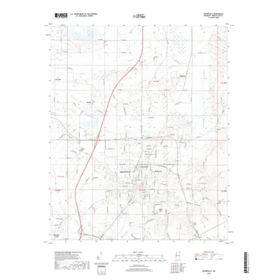
2018 Map of Booneville
USGS Topo · Published 2018About this map
Booneville serves as the focal point of this Prentiss County landscape, showcasing a dense network of residential streets and civic institutions. The presence of Northeast-Mississippi Community College and several historic burial grounds, including Booneville Cem and Friendship Cem, points to the town's role as a regional educational and cultural hub. The terrain is defined by the winding course of the Tuscumbia River and several tributaries like Kings Cr and Hornolucka Cr that carve through the surrounding countryside.
Find a feature on this map
153 named features on this map. Tap any name to fly to it.
Don’t see what you’re looking for? This feature index may not catch every label — zoom into the map to look around manually.
Map Details
Editions of this 2018 Booneville Map
This is the sole edition of this map. No revisions or reprints were ever made.
Other maps of this area

1921 · Booneville
USGS Topo · 1:48,000

1922 · Booneville
USGS Topo · 1:62,500

1935 · Glens
USGS Topo · 1:24,000

1950 · Corinth
USGS Topo · 1:62,500

1950 · Glens
USGS Topo · 1:24,000

1950 · Altitude
USGS Topo · 1:24,000

1956 · Tupelo
USGS Topo · 1:250,000

1958 · Tupelo
USGS Topo · 1:250,000
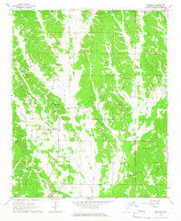
1965 · Marietta
USGS Topo · 1:24,000

1972 · Jumpertown
USGS Topo · 1:24,000