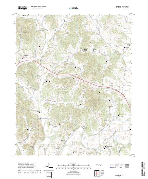
2022 Map of Boonshill
USGS Topo · Published 2022About this map
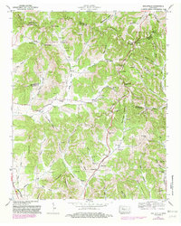
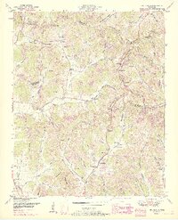
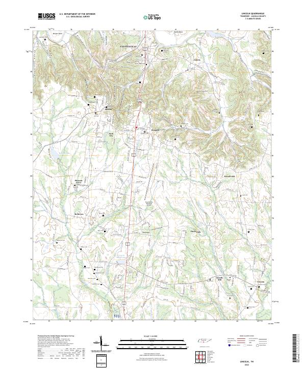
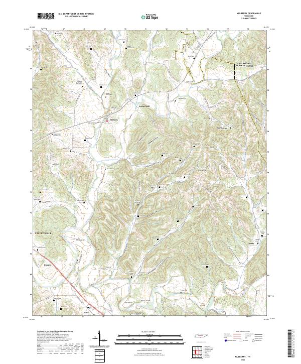
Swan Creek and its many tributaries carve through the heart of this Tennessee landscape, defining the rural character of communities like Boonshill and Hughey. The topography is marked by a series of hollows—Sawyer Hollow, Barnes Hollow, and Gunner Hollow—which have historically guided the placement of family cemeteries and homesteads. Local history is deeply embedded in these hills, evidenced by the high density of burial sites such as the Childress Cem, Cathey Cem, and the uniquely named Wyatt - Wilson - Hamilton Cem.
Find a feature on this map
100 named features on this map. Tap any name to fly to it.
Don’t see what you’re looking for? This feature index may not catch every label — zoom into the map to look around manually.
Map Details
Editions of this 2022 Boonshill Map
This is the sole edition of this map. No revisions or reprints were ever made.
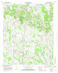
Historical Maps of East Cyruston Through Time
15 maps found

1936 Belleville
Lincoln County, TN
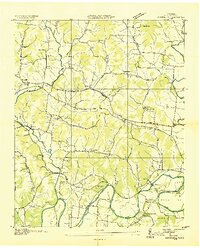
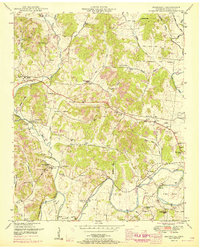
1936 Boonshill
Lincoln County, TN

1936 Lincoln
Lincoln County, TN
1936 Mulberry
Lincoln County, TN
1947 Mulberry
Lincoln County, TN
1949 Belleville
Lincoln County, TN
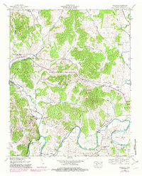
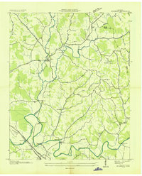
1949 Boonshill
Lincoln County, TN
1949 Lincoln
Lincoln County, TN
1951 Belleville
Lincoln County, TN
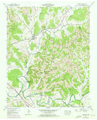
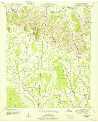
1951 Boonshill
Lincoln County, TN
1951 Lincoln
Lincoln County, TN
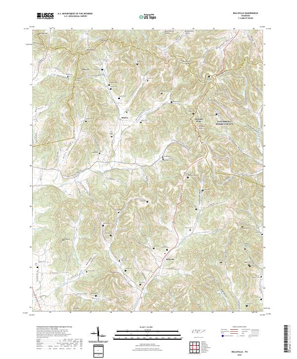
2022 Belleville
Lincoln County, TN
2022 Boonshill
Lincoln County, TN
2022 Lincoln
Lincoln County, TN
2022 Mulberry
Lincoln County, TN