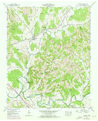
1947 Map of Mulberry
USGS Topo · Published 1973About this map
The Elk River winds across the southern reaches of this landscape, carving a deep horseshoe at Pitts Bend before flowing past the settlement of Kelso. Further north, the confluence of the West Fork and East Fork near Mulberry establishes the headwaters of Mulberry Creek. This area is defined by a dense network of family-named cemeteries and rural landmarks, such as Lockes Mill and the Loyd Chapel, which suggest a long-established community structure centered around the creek valleys and hollows like McNeece Hollow and Moorhead Hollow.
Find a feature on this map
64 named features on this map. Tap any name to fly to it.
Don’t see what you’re looking for? This feature index may not catch every label — zoom into the map to look around manually.
Map Details
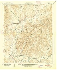
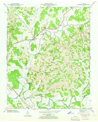
Editions of this 1947 Mulberry Map
3 editions found
Other maps of this area

1936 · Booneville
USGS Topo · 1:24,000

1936 · Flintville
USGS Topo · 1:24,000

1936 · Cumberland Springs
USGS Topo · 1:24,000

1936 · Belleville
USGS Topo · 1:24,000

1936 · Lincoln
USGS Topo · 1:24,000

1936 · Huntland
USGS Topo · 1:24,000

1936 · Mulberry
USGS Topo · 1:24,000

1936 · Fayetteville
USGS Topo · 1:24,000

1936 · Lois
USGS Topo · 1:24,000

1941 · Cumberland Springs
USGS Topo · 1:24,000