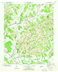
1947 Map of Mulberry
USGS Topo · Published 1966About this map
Mulberry stands as a focal point in the northwest corner of this map, situated where the West Fork and East Fork converge to form Mulberry Creek. The landscape of the late 1940s is defined by a dense network of family-named hollows and ridges, such as Taylor Hollow and Crystal Ridge, which reveal a deeply rooted rural community. Historic industrial and social centers are clearly marked, including Lockes Mill on the East Fork and several educational landmarks like the Moore Chapel Sch and Crystal Ridge Sch.
Find a feature on this map
72 named features on this map. Tap any name to fly to it.
Don’t see what you’re looking for? This feature index may not catch every label — zoom into the map to look around manually.
Map Details
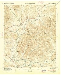
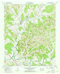
Editions of this 1947 Mulberry Map
3 editions found
Other maps of this area

1936 · Booneville
USGS Topo · 1:24,000

1936 · Flintville
USGS Topo · 1:24,000

1936 · Cumberland Springs
USGS Topo · 1:24,000

1936 · Belleville
USGS Topo · 1:24,000

1936 · Lincoln
USGS Topo · 1:24,000

1936 · Huntland
USGS Topo · 1:24,000

1936 · Mulberry
USGS Topo · 1:24,000

1936 · Fayetteville
USGS Topo · 1:24,000

1936 · Lois
USGS Topo · 1:24,000

1941 · Cumberland Springs
USGS Topo · 1:24,000