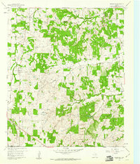
1960 Map of Boonsville
USGS Topo · Published 1961About this map
The Boonsville Gas Field dominates the landscape of southwest Wise County, where a dense network of gas wells and pipelines is etched into the hilly terrain. This 1960 era survey reveals a region transitioning through industrial expansion while maintaining its rural foundations. Settlements like Boonsville and Balsora serve as local hubs, while an Old Railroad Grade cutting across the northern reaches suggests an earlier era of transportation that once connected these remote communities.
Find a feature on this map
22 named features on this map. Tap any name to fly to it.
Don’t see what you’re looking for? This feature index may not catch every label — zoom into the map to look around manually.
Map Details
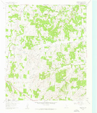
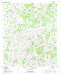
Editions of this 1960 Boonsville Map
Other maps of this area

1891 · Weatherford
USGS Topo · 1:125,000

1893 · Weatherford
USGS Topo · 1:125,000

1930 · Boyd
USGS Topo · 1:62,500

1932 · Springtown
USGS Topo · 1:62,500

1954 · Dallas
USGS Topo · 1:250,000

1954 · Sherman
USGS Topo · 1:250,000

1958 · Dallas
USGS Topo · 1:250,000

1958 · Sherman
USGS Topo · 1:250,000

1958 · Springtown
USGS Topo · 1:24,000
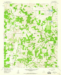
1959 · Adell
USGS Topo · 1:24,000