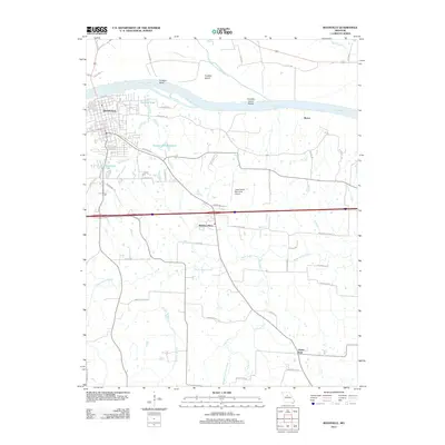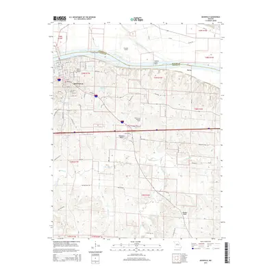
2021 Map of Boonville
USGS Topo · Published 2021About this map
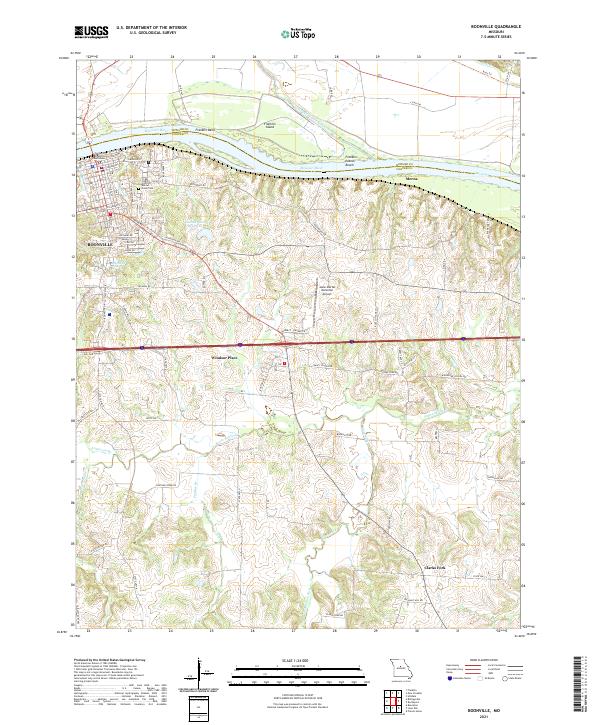
The Missouri River creates a prominent northern boundary for this section of Cooper and Howard counties, where the river's dynamic path is marked by features like Franklin Bend and Franklin Island. Along its southern bank, the city of Boonville serves as a primary hub, characterized by a dense grid of streets including E Morgan St and Sycamore St, and anchored by the Cooper County Courthouse. The map reveals a transition from these established urban streets to the winding rural roads of the interior, such as Rocheport Rd and Boonville Rd.
Find a feature on this map
57 named features on this map. Tap any name to fly to it.
Don’t see what you’re looking for? This feature index may not catch every label — zoom into the map to look around manually.
Map Details
Editions of this 2021 Boonville Map
This is the sole edition of this map. No revisions or reprints were ever made.
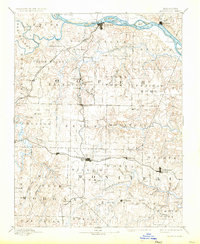
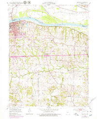
Historical Maps of Boonville Through Time
6 maps found