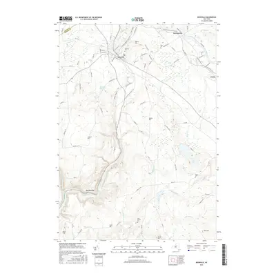
2016 Map of Boonville
USGS Topo · Published 2016About this map
Boonville serves as the central hub of this northern Oneida County landscape, where the historical legacy of the Black River Canal remains etched into the terrain. The canal's path and its accompanying Canal Towpath are visible as they move north toward Hawkinsville, tracing a valley shared with the Black River. This 2016 survey documents the modern intersection of recreational and industrial space, following the N Country National Scenic Trail as it winds through several high points, including Potato Hill and Jackson Hill.
Find a feature on this map
88 named features on this map. Tap any name to fly to it.
Don’t see what you’re looking for? This feature index may not catch every label — zoom into the map to look around manually.
Map Details
Editions of this 2016 Boonville Map
This is the sole edition of this map. No revisions or reprints were ever made.
Other maps of this area

1897 · Remsen
USGS Topo · 1:62,500

1900 · Remsen
USGS Topo · 1:62,500

1904 · Boonville
USGS Topo · 1:62,500

1905 · Port Leyden
USGS Topo · 1:62,500

1907 · Port Leyden
USGS Topo · 1:62,500

1912 · Mc Keever
USGS Topo · 1:62,500

1940 · Port Leyden
USGS Topo · 1:62,500

1945 · Boonville
USGS Topo · 1:24,000

1945 · Forestport
USGS Topo · 1:24,000
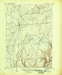
1946 · West Leyden
USGS Topo · 1:31,680