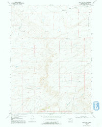
1968 Map of Boot Heel SE
USGS Topo · Published 1992About this map
The Fort Fetterman Road cuts through this high-altitude Wyoming landscape, following a historical corridor of frontier movement through Albany County. The terrain is defined by a complex network of seasonal drainages, including Twentytwo Mile Draw, Twentymile Draw, and the curiously named Elk Horn Draw. These ephemeral waterways congregate around points of relief like Boone, illustrating the critical role of water management in this arid region.
Find a feature on this map
11 named features on this map. Tap any name to fly to it.
Don’t see what you’re looking for? This feature index may not catch every label — zoom into the map to look around manually.
Map Details
Editions of this 1968 Boot Heel SE Map
2 editions found
Other maps of this area

1954 · Torrington
USGS Topo · 1:250,000

1954 · Cheyenne
USGS Topo · 1:250,000

1955 · Pine Tree Ridge
USGS Topo · 1:24,000

1955 · Sevenmile Spring
USGS Topo · 1:24,000

1955 · Ayres Spring
USGS Topo · 1:24,000

1958 · Cheyenne
USGS Topo · 1:250,000

1958 · Torrington
USGS Topo · 1:250,000

1968 · Cottonwood Creek
USGS Topo · 1:24,000
1968 · Boot Heel
USGS Topo · 1:24,000
1968 · Greasewood Knoll
USGS Topo · 1:24,000