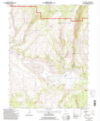
1993 Map of Boot Lake
USGS Topo · Published 1996About this map
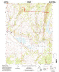
The high Warner Mountains dominate this 1993 survey, a landscape defined by deep drainages and remote upland basins within the Modoc National Forest. Settlement in this corner of Lassen County is characterized by isolated outposts such as Clarks Valley Ranch, Hornback Ranch, and the Red Rock Ranch, reflecting a long-standing ranching economy dependent on the seasonal availability of water. Significant water bodies like Boot Lake and Red Rock Lake sit in the shadow of Red Rock Mountain, while the terrain is dissected by steep passages including Alaska Canyon and Selic Canyon. This map captures the topography of the northeast California highlands just as they were documented in the late 20th century, showing the enduring spatial relationship between natural springs and the historic homesteads and stock camps of Red Rock Valley and Clarks Valley.
Find a feature on this map
26 named features on this map. Tap any name to fly to it.
Don’t see what you’re looking for? This feature index may not catch every label — zoom into the map to look around manually.
Map Details
Editions of this 1993 Boot Lake Map
2 editions found
Other maps of this area

1886 · Alturas
USGS Topo · 1:250,000

1886 · Honey Lake
USGS Topo · 1:250,000

1891 · Honey Lake
USGS Topo · 1:250,000

1892 · Alturas
USGS Topo · 1:250,000

1893 · Honey Lake
USGS Topo · 1:250,000

1954 · Observation Peak
USGS Topo · 1:62,500

1954 · Ravendale
USGS Topo · 1:62,500

1954 · Alturas
USGS Topo · 1:250,000

1955 · Westwood
USGS Topo · 1:250,000

1958 · Alturas
USGS Topo · 1:250,000