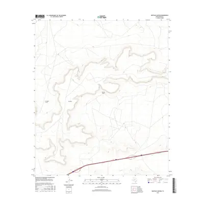
2016 Map of Bootleg Canyon
USGS Topo · Published 2016About this map
Big Mesa dominates the central landscape of this West Texas quadrangle, where the desert plateau drops away into deep drainage systems. The primary topographical features are the winding cuts of Bootleg Canyon and Livingston Canyon, which define the rugged relief of the northern and western portions of the map. To the south, the terrain levels out significantly as it nears the path of Tunas Cr, a watercourse that parallels the modern infrastructure of Interstate 10. The 2016 survey also documents the local transport network, specifically the frontage access of 110 Svc Rd, showing the intersection of natural desert landforms with contemporary regional transit corridors in Pecos County.
Find a feature on this map
5 named features on this map. Tap any name to fly to it.
Don’t see what you’re looking for? This feature index may not catch every label — zoom into the map to look around manually.
Map Details
Editions of this 2016 Bootleg Canyon Map
This is the sole edition of this map. No revisions or reprints were ever made.
Other maps of this area

1928 · Crane
USGS Topo · 1:125,000

1928 · Comanche Spring
USGS Topo · 1:125,000

1929 · Independence Draw Quadrangle
USGS Topo · 1:125,000

1954 · Pecos
USGS Topo · 1:250,000

1954 · Fort Stockton
USGS Topo · 1:250,000

1957 · Pecos
USGS Topo · 1:250,000

1958 · Fort Stockton
USGS Topo · 1:250,000

1969 · Bootleg Canyon
USGS Topo · 1:24,000

1969 · Skyscraper Peak
USGS Topo · 1:24,000

1969 · Bakersfield
USGS Topo · 1:24,000