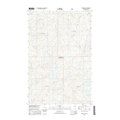
2016 Map of Bootleg Lake
USGS Topo · Published 2016About this map
The Superior National Forest defines the character of this 2016 survey, a landscape dominated by a complex network of waterways and wetlands in St. Louis County. The Little Indian Sioux River meanders across the northwestern quadrant, featuring Sioux Falls and several small tributaries like Spike-Horn Cr and Teds Cr. The terrain is characterized by numerous glacially-formed bodies of water including Bootleg Lake, Canthook Lake, and Triumph Lake.
Find a feature on this map
30 named features on this map. Tap any name to fly to it.
Don’t see what you’re looking for? This feature index may not catch every label — zoom into the map to look around manually.
Map Details
Editions of this 2016 Bootleg Lake Map
This is the sole edition of this map. No revisions or reprints were ever made.
Other maps of this area

1954 · Hibbing
USGS Topo · 1:250,000

1954 · International Falls
USGS Topo · 1:250,000

1956 · Sioux Pine Island
USGS Topo · 1:24,000

1956 · Chad Lake
USGS Topo · 1:24,000

1956 · Crab Lake
USGS Topo · 1:24,000

1957 · Hibbing
USGS Topo · 1:250,000

1957 · International Falls
USGS Topo · 1:250,000

1958 · International Falls
USGS Topo · 1:250,000

1958 · Hibbing
USGS Topo · 1:250,000

1963 · Astrid Lake
USGS Topo · 1:24,000