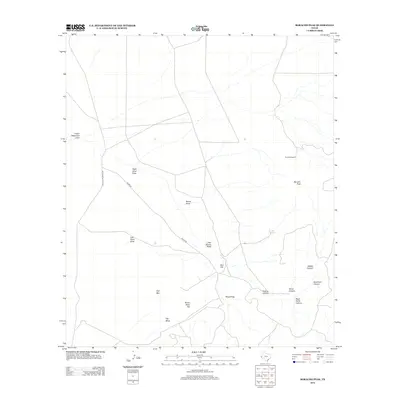
2012 Map of Boracho Peak
USGS Topo · Published 2012About this map
Boracho Peak rises above an arid landscape of high-desert drainage systems and named plateaus in Culberson County. The area's hydrology is defined by episodic watercourses such as Indian Waterhole Draw, Wreck Draw, and Joes Spring Draw, which feed into complex canyon networks including Deadman Canyon and Panther Canyon. Evidence of cattle ranching and land management is found at Boracho Windmill and the Rough Trap enclosure, showing how this high-elevation terrain was utilized for livestock. To the south, the topography transitions into distinct volcanic and sedimentary landforms like Flat Mesa, Gap Mtn, and Bronc Mule Hill. A small network of secondary roads, including Plateau Valentine Rd and Taylor Rd, provides the only access through this isolated portion of the Trans-Pecos region.
Find a feature on this map
21 named features on this map. Tap any name to fly to it.
Don’t see what you’re looking for? This feature index may not catch every label — zoom into the map to look around manually.
Map Details
Editions of this 2012 Boracho Peak Map
This is the sole edition of this map. No revisions or reprints were ever made.
Other maps of this area

1892 · Chispa
USGS Topo · 1:125,000

1894 · Valentine
USGS Topo · 1:125,000

1895 · Chispa
USGS Topo · 1:125,000

1897 · Valentine
USGS Topo · 1:125,000

1897 · Chispa
USGS Topo · 1:125,000

1906 · Van Horn
USGS Topo · 1:125,000

1928 · Kent
USGS Topo · 1:125,000

1943 · Valentine
USGS Topo · 1:125,000

1954 · Van Horn
USGS Topo · 1:250,000

1958 · Van Horn
USGS Topo · 1:250,000