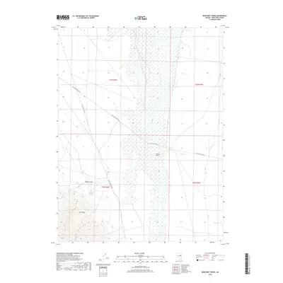
2018 Map of Borchert Spring
USGS Topo · Published 2018About this map
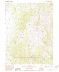
Borchert Spring lies at the base of the Egan Range, serving as a vital water source in this high-desert basin. The landscape is defined by the broad Steptoe Valley, where the drainage of Duck Cr creates a significant wetland corridor. This 2018 survey captures a remote section of White Pine County where early transportation routes like White Pine Co Road 18 and White Pine Co Road 27 intersect, tracing the historic movement of people and livestock through the Great Basin. Small seasonal waterways such as Antone Cr, Schell Cr, and Rabbit Cr emerge from the steep walls of Rabbit Canyon, illustrating the importance of ephemeral water sources in shaping local land use and range management in the modern era.
Find a feature on this map
15 named features on this map. Tap any name to fly to it.
Don’t see what you’re looking for? This feature index may not catch every label — zoom into the map to look around manually.
Map Details
Editions of this 2018 Borchert Spring Map
This is the sole edition of this map. No revisions or reprints were ever made.
Other maps of this area

1956 · Ely
USGS Topo · 1:250,000

1959 · Ely
USGS Topo · 1:250,000

1963 · Ely
USGS Topo · 1:250,000

1982 · Borchert Spring
USGS Topo · 1:24,000

1982 · Exchequer Spring
USGS Topo · 1:24,000

1982 · Cherry Spring
USGS Topo · 1:24,000
1982 · Monte Neva Hot Springs
USGS Topo · 1:24,000
1982 · Cherry Creek Station
USGS Topo · 1:24,000
1982 · Schellbourne
USGS Topo · 1:24,000
1982 · Telegraph Peak
USGS Topo · 1:24,000