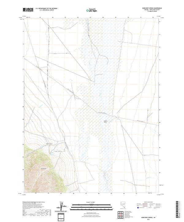
2021 Map of Borchert Spring
USGS Topo · Published 2021About this map
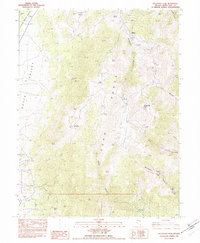
Steptoe Valley forms the central character of this Eastern Nevada landscape, where the flat valley floor meets the rising peaks of the Egan Range. The map documents a classic Great Basin drainage pattern, defined by seasonal water sources and intermittent streams such as Duck Cr and Antone Cr. The namesake Borchert Spring is situated near the mouth of Rabbit Canyon, a critical focal point for water in an otherwise arid environment. Human presence is marked primarily by rural transit corridors like White Pine Co Road 18 and White Pine Co Road 27, which trace the valley margins. This survey provides a precise modern record of the township and range boundaries that have governed land use in White Pine County since the nineteenth century, including sections within t23n r63e and t22n r64e.
Find a feature on this map
15 named features on this map. Tap any name to fly to it.
Don’t see what you’re looking for? This feature index may not catch every label — zoom into the map to look around manually.
Map Details
Editions of this 2021 Borchert Spring Map
This is the sole edition of this map. No revisions or reprints were ever made.
Other maps of this area

1956 · Ely
USGS Topo · 1:250,000

1959 · Ely
USGS Topo · 1:250,000

1963 · Ely
USGS Topo · 1:250,000

1982 · Borchert Spring
USGS Topo · 1:24,000

1982 · Exchequer Spring
USGS Topo · 1:24,000

1982 · Cherry Spring
USGS Topo · 1:24,000
1982 · Monte Neva Hot Springs
USGS Topo · 1:24,000
1982 · Cherry Creek Station
USGS Topo · 1:24,000
1982 · Schellbourne
USGS Topo · 1:24,000
1982 · Telegraph Peak
USGS Topo · 1:24,000