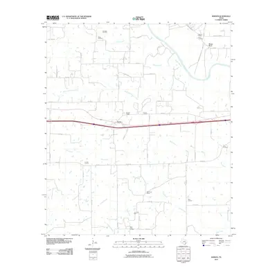
2010 Map of Borden
USGS Topo · Published 2010About this map
Borden and Shaws Bend anchor this portion of Colorado County, where the Colorado River carves a sweeping path through the northern landscape. The area is defined by its deep genealogical roots, evidenced by a high density of burial grounds including the Old Osage Cemetery, Fitzgerald Cemetery, and Ijams Cemetery. Transport and industry are marked by the Borden-Siding railroad feature and the Hamel Oil Field, showing how the local economy integrated with rail and natural resources.
Find a feature on this map
55 named features on this map. Tap any name to fly to it.
Don’t see what you’re looking for? This feature index may not catch every label — zoom into the map to look around manually.
Map Details
Editions of this 2010 Borden Map
This is the sole edition of this map. No revisions or reprints were ever made.
Other maps of this area

1919 · Fayettsville
USGS Topo · 1:62,500

1919 · Schulenburg
USGS Topo · 1:62,500

1953 · Seguin
USGS Topo · 1:250,000

1956 · Glidden
USGS Topo · 1:62,500

1956 · La Grange
USGS Topo · 1:62,500

1957 · Ellinger
USGS Topo · 1:24,000

1957 · Columbus
USGS Topo · 1:24,000

1957 · Borden
USGS Topo · 1:24,000

1957 · Ammannsville
USGS Topo · 1:24,000

1958 · Seguin
USGS Topo · 1:250,000