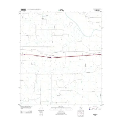
2013 Map of Borden
USGS Topo · Published 2013About this map
Borden and Borden-Siding sit at the center of this rural Colorado County landscape, where the transport corridor of the Interstate and Frontage Rd cuts through traditional ranching and farming lands. The area is defined by a dense network of watercourses, including Skull Cr, Miller Cr, and the winding Colorado River near Shaws Bend. The concentration of family and community burial grounds, such as Osage Cem, Ijams Cem, and Fitzgerald Cem, indicates a deeply rooted settlement history where small communities were once anchored by local institutions like the Oak Grove School. Industry is represented by the Hamel Oil Field to the south, highlighting the region's diverse economic base of petroleum and agriculture. The map provides a detailed view of local infrastructure, from the rural paths of Co Rd 210 and Hattermann Ln to the significant waterway of Harveys Cr.
Find a feature on this map
54 named features on this map. Tap any name to fly to it.
Don’t see what you’re looking for? This feature index may not catch every label — zoom into the map to look around manually.
Map Details
Editions of this 2013 Borden Map
This is the sole edition of this map. No revisions or reprints were ever made.
Other maps of this area

1919 · Fayettsville
USGS Topo · 1:62,500

1919 · Schulenburg
USGS Topo · 1:62,500

1953 · Seguin
USGS Topo · 1:250,000

1956 · Glidden
USGS Topo · 1:62,500

1956 · La Grange
USGS Topo · 1:62,500

1957 · Ellinger
USGS Topo · 1:24,000

1957 · Columbus
USGS Topo · 1:24,000

1957 · Borden
USGS Topo · 1:24,000

1957 · Ammannsville
USGS Topo · 1:24,000

1958 · Seguin
USGS Topo · 1:250,000