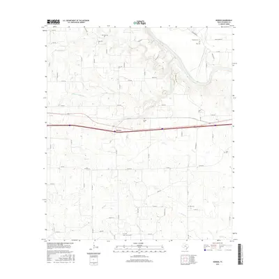
2016 Map of Borden
USGS Topo · Published 2016About this map
Borden serves as the central settlement in this portion of Colorado County, situated south of the sweeping bends of the Colorado River. The landscape is defined by an intricate network of waterways, including Skull Cr and Harveys Cr, which drain the surrounding plains. The area is particularly notable for its concentration of family and community burial sites, which provide significant genealogical value for the region. Genealogists and local researchers can identify several distinct locations such as Old Osage Cem, Fitzgerald Cem, and Miller Creek Cem. The transition from rural roads like Shaws Bend Rd to larger transit corridors near the town center highlights the area's development as a agricultural and residential hub. The map also traces the smaller tributaries like Alligator Br and Dowdy Cr, mapping the natural drainage that has historically shaped the settlement patterns of the county.
Find a feature on this map
69 named features on this map. Tap any name to fly to it.
Don’t see what you’re looking for? This feature index may not catch every label — zoom into the map to look around manually.
Map Details
Editions of this 2016 Borden Map
This is the sole edition of this map. No revisions or reprints were ever made.
Other maps of this area

1919 · Fayettsville
USGS Topo · 1:62,500

1919 · Schulenburg
USGS Topo · 1:62,500

1953 · Seguin
USGS Topo · 1:250,000

1956 · Glidden
USGS Topo · 1:62,500

1956 · La Grange
USGS Topo · 1:62,500

1957 · Ellinger
USGS Topo · 1:24,000

1957 · Columbus
USGS Topo · 1:24,000

1957 · Borden
USGS Topo · 1:24,000

1957 · Ammannsville
USGS Topo · 1:24,000

1958 · Seguin
USGS Topo · 1:250,000