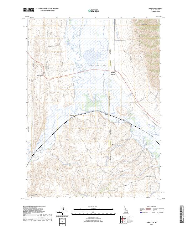
2023 Map of Border
USGS Topo · Published 2023About this map
Thomas Fork Valley serves as a critical geographic corridor where the high desert terrain of the Preuss Range meets the agricultural and ecological complexities of the Idaho-Wyoming state line. This modern 2023 survey documents a landscape defined by water management, where the Raymond Canal, Cook Canal, and numerous irrigation works like Miller Ditch and Sights Ditch support the valley floor. The map highlights the Bear Lake National Wildlife Refuge, indicating the intersection of federal conservation interests and local ranching operations.
Find a feature on this map
45 named features on this map. Tap any name to fly to it.
Don’t see what you’re looking for? This feature index may not catch every label — zoom into the map to look around manually.
Map Details
Editions of this 2023 Border Map
This is the sole edition of this map. No revisions or reprints were ever made.
Other maps of this area

1909 · Montpelier
USGS Topo · 1:125,000

1911 · Montpelier
USGS Topo · 1:125,000

1936 · Cokeville
USGS Topo · 1:96,000

1942 · Cokeville
USGS Topo · 1:125,000

1955 · Preston
USGS Topo · 1:250,000

1958 · Preston
USGS Topo · 1:250,000

1962 · Preston
USGS Topo · 1:250,000

1967 · Huff Lake
USGS Topo · 1:24,000
1967 · Marse
USGS Topo · 1:24,000
1967 · Cokeville
USGS Topo · 1:24,000