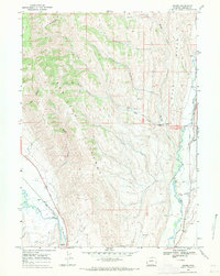
1967 Map of Marse
USGS Topo · Published 1971About this map
The western edge of the Sublette Range descends toward the Bear River valley in this 1960s study of western Lincoln County. Historic transportation corridors dominate the southern terrain, where the Emigrant Trail and the Sublette Cutoff parallel the tracks of the Union Pacific railroad through the Narrows. This confluence of routes highlights the area's significance as a passage for westward expansion and subsequent industrial rail transport. The settlement of Marse sits at a junction of river and rail, serving as a focal point for the surrounding high-desert landscape.
Find a feature on this map
37 named features on this map. Tap any name to fly to it.
Don’t see what you’re looking for? This feature index may not catch every label — zoom into the map to look around manually.
Map Details
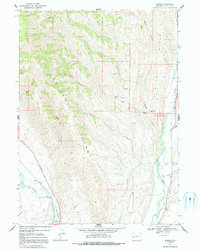
Editions of this 1967 Marse Map
2 editions found
Other maps of this area

1909 · Montpelier
USGS Topo · 1:125,000

1911 · Montpelier
USGS Topo · 1:125,000

1936 · Cokeville
USGS Topo · 1:96,000

1942 · Cokeville
USGS Topo · 1:125,000

1955 · Preston
USGS Topo · 1:250,000

1958 · Preston
USGS Topo · 1:250,000

1962 · Preston
USGS Topo · 1:250,000

1967 · Big Park
USGS Topo · 1:24,000

1967 · Huff Lake
USGS Topo · 1:24,000
1967 · Sublette Canyon
USGS Topo · 1:24,000