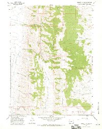
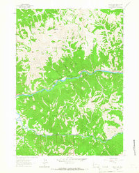
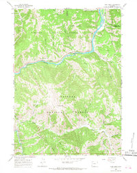
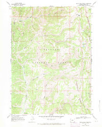
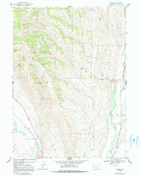
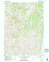
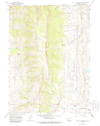
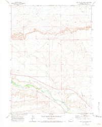
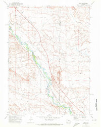
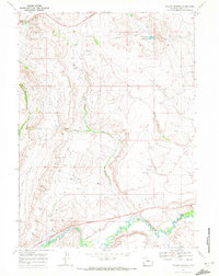
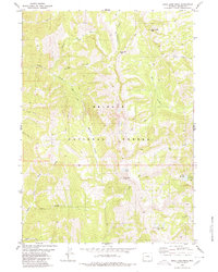
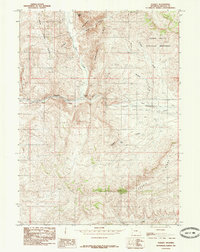
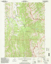
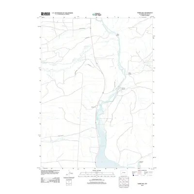
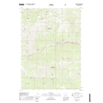
1967 Map of Sublette Canyon
USGS Topo · Published 1970About this map
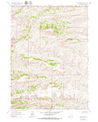
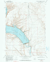
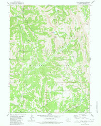
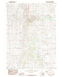
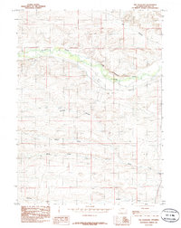
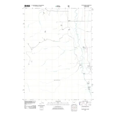
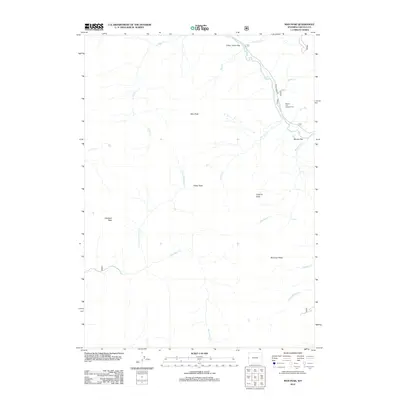
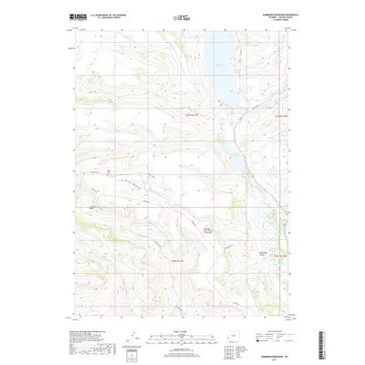
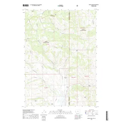
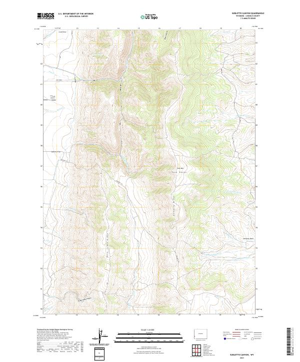
The Emigrant (Sublette Cutoff) Trail winds through this high-altitude landscape in Lincoln County, following a historic bypass used by travelers headed toward the Pacific. The terrain is defined by a series of north-south elevations including Tunp Ridge, Rock Creek Ridge, and Dempsey Ridge. These parallel ridges create deep drainages such as Sublette Canyon and provide a backdrop for a remote landscape where land use is largely divided between natural resource extraction and early recreational development.
Find a feature on this map
38 named features on this map. Tap any name to fly to it.
Don’t see what you’re looking for? This feature index may not catch every label — zoom into the map to look around manually.
Map Details
Editions of this 1967 Sublette Canyon Map
This is the sole edition of this map. No revisions or reprints were ever made.
Historical Maps of Lincoln County Through Time
315 maps found
1945 Fort Hill
Lincoln County, WY
1947 Fort Hill
Lincoln County, WY
1954 Sage
Lincoln County, WY
1962 Bell Butte NE
Lincoln County, WY
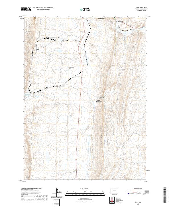
1962 Elkol
Lincoln County, WY
1962 Warfield Creek
Lincoln County, WY
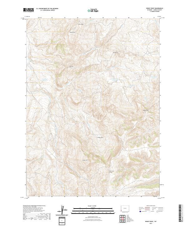
1962 Windy Point
Lincoln County, WY
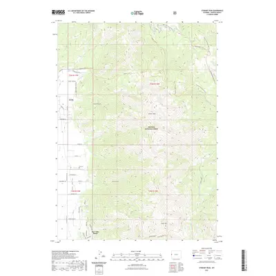
1963 Ferry Peak
Lincoln County, WY
1965 Bailey Lake
Lincoln County, WY
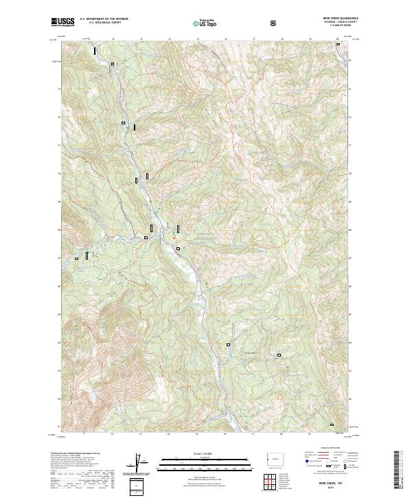
1965 Deer Creek
Lincoln County, WY
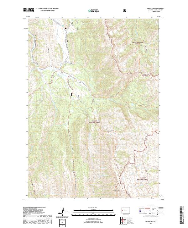
1965 Pickle Pass
Lincoln County, WY
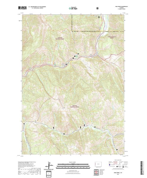
1965 Pine Creek
Lincoln County, WY
1965 Stewart Peak
Lincoln County, WY
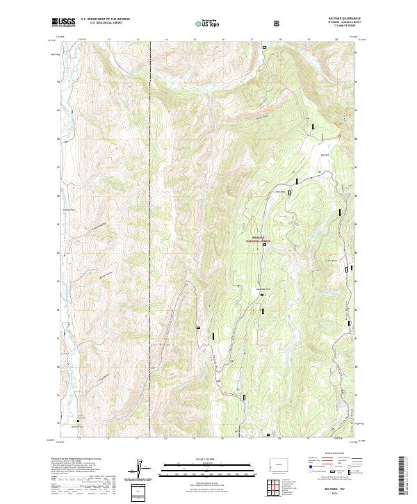
1967 Big Park
Lincoln County, WY
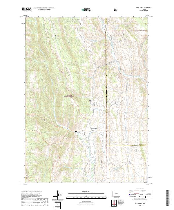
1967 Coal Creek
Lincoln County, WY
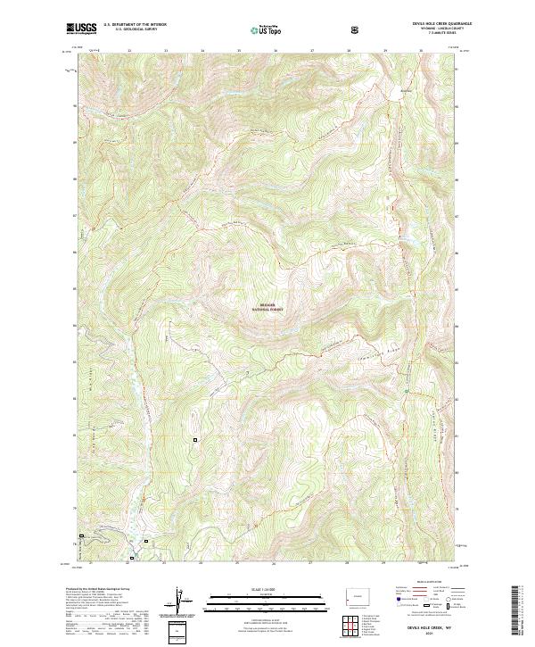
1967 Devils Hole Creek
Lincoln County, WY
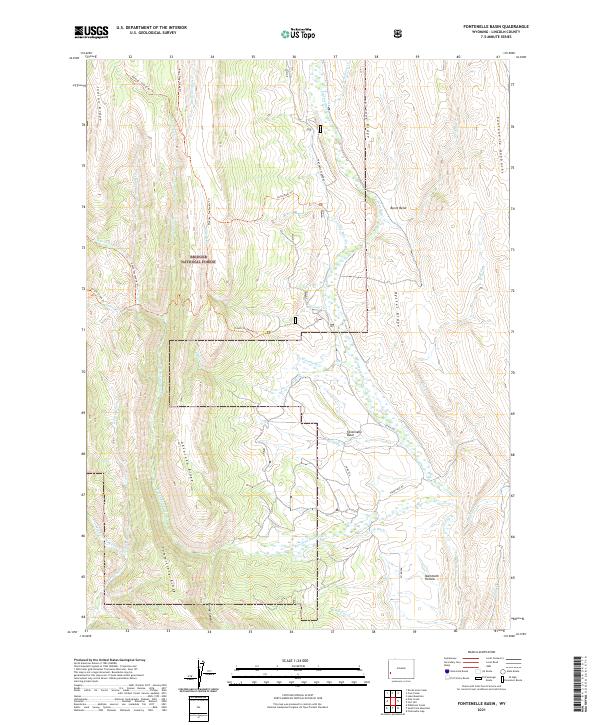
1967 Fontenelle Basin
Lincoln County, WY
1967 Graham Peak
Lincoln County, WY
1967 Huff Lake
Lincoln County, WY
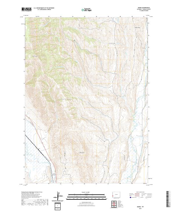
1967 Marse
Lincoln County, WY
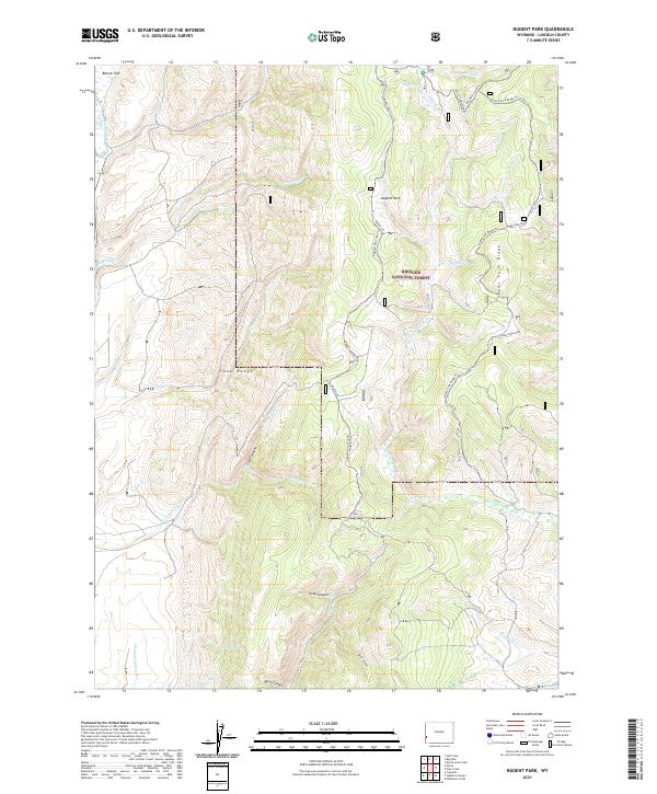
1967 Nugent Park
Lincoln County, WY
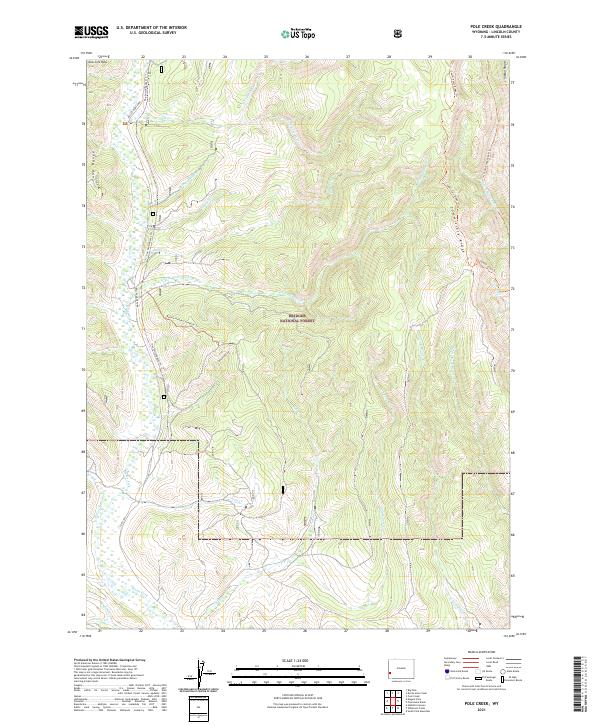
1967 Pole Creek
Lincoln County, WY
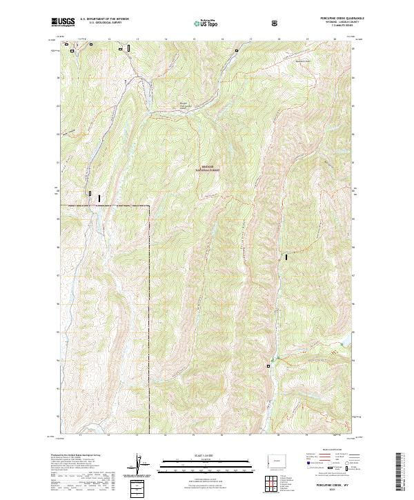
1967 Porcupine Creek
Lincoln County, WY
1967 Salt Flat
Lincoln County, WY
1967 South Fork Mountain
Lincoln County, WY
1967 Sublette Canyon
Lincoln County, WY
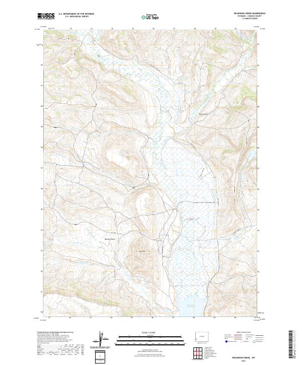
1967 Wilkinson Creek
Lincoln County, WY
1968 Anderson Canyon
Lincoln County, WY
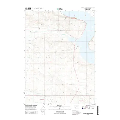
1968 Fontenelle Reservoir SE
Lincoln County, WY
1968 Fontenelle Reservoir SW
Lincoln County, WY
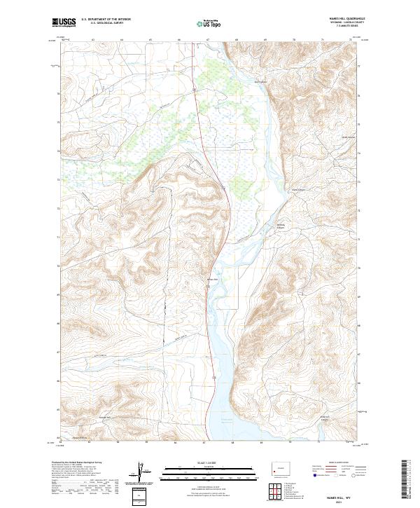
1968 Names Hill
Lincoln County, WY
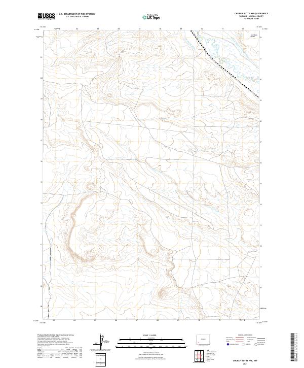
1969 Church Butte NW
Lincoln County, WY
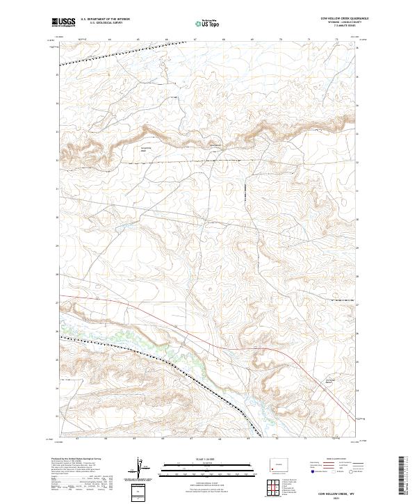
1969 Cow Hollow Creek
Lincoln County, WY
1969 Fontenelle SE
Lincoln County, WY
1969 Graham Reservoir
Lincoln County, WY
1969 Little Round Mountain
Lincoln County, WY
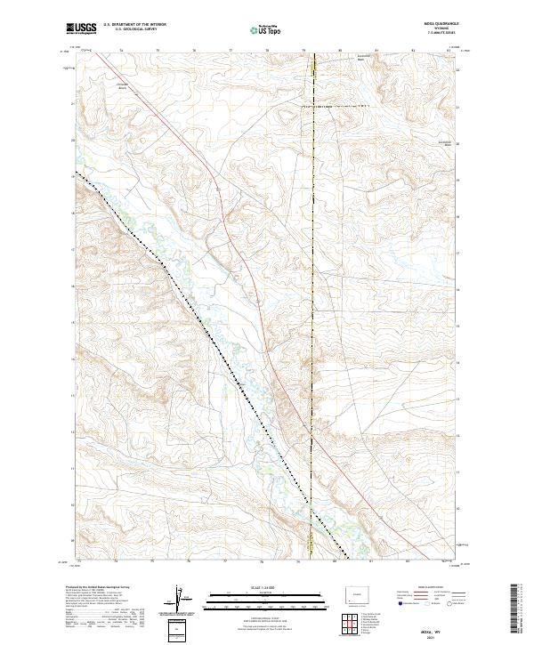
1969 Moxa
Lincoln County, WY
1969 Roberson Creek
Lincoln County, WY
1969 Round Mountain
Lincoln County, WY
1969 Shute Creek Lake
Lincoln County, WY
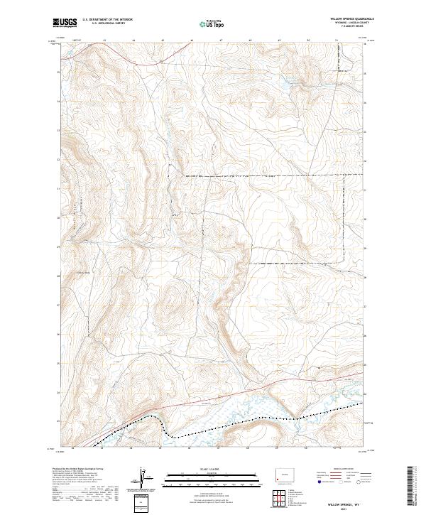
1969 Willow Springs
Lincoln County, WY
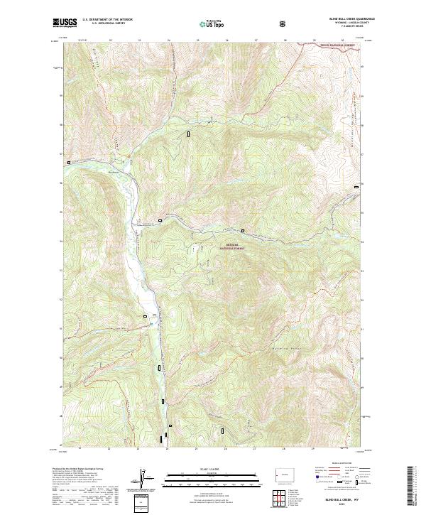
1980 Blind Bull Creek
Lincoln County, WY
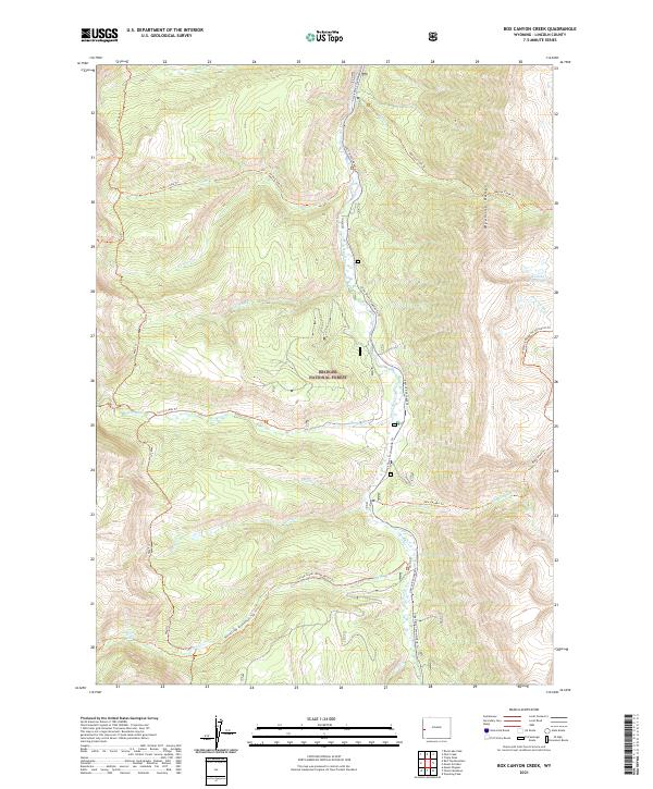
1980 Box Canyon Creek
Lincoln County, WY
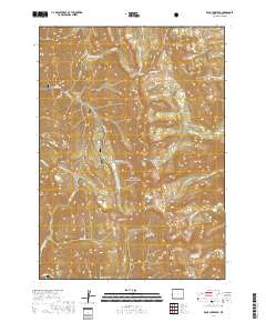
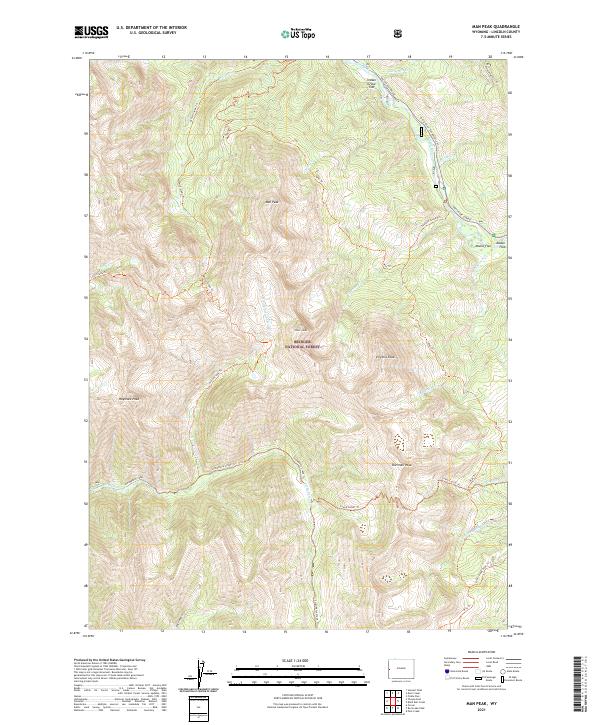
1980 Man Peak
Lincoln County, WY
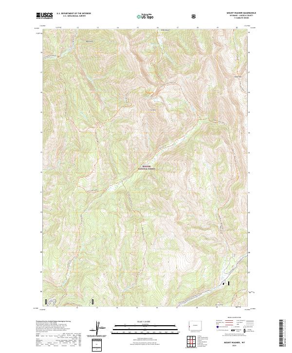
1980 Mount Wagner
Lincoln County, WY
1980 Park Creek
Lincoln County, WY
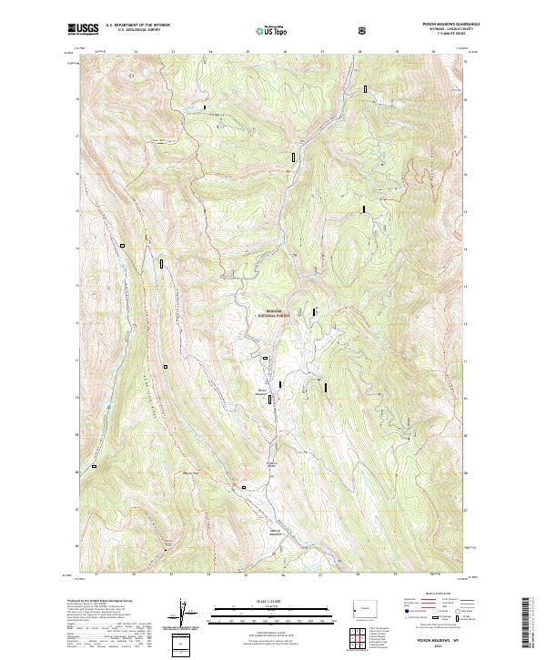
1980 Poison Meadows
Lincoln County, WY
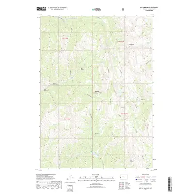
1980 Red Top Mountain
Lincoln County, WY
1980 Rock Lake Peak
Lincoln County, WY
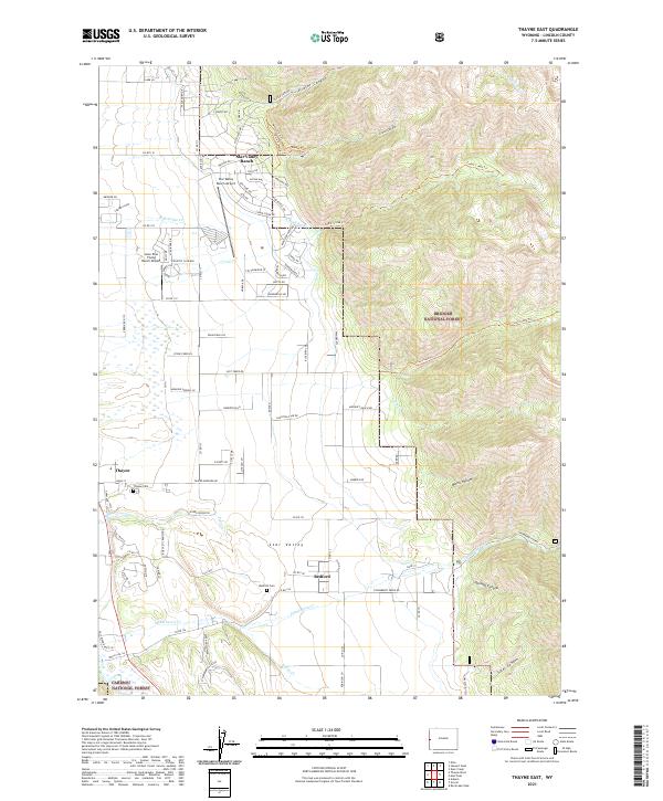
1980 Thayne East
Lincoln County, WY
1980 Thayne West
Lincoln County, WY
1982 Fontenelle Reservoir
Lincoln County, WY

1985 Beckwith
Lincoln County, WY
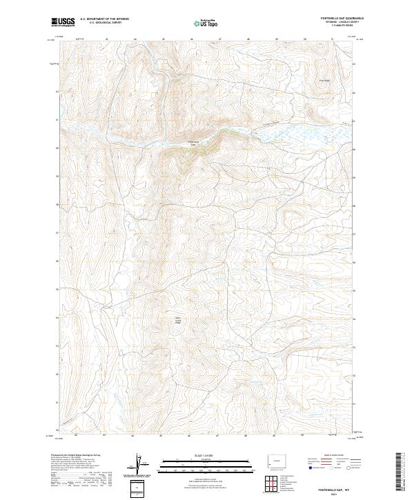
1985 Fontenelle Gap
Lincoln County, WY
1985 Fort Hill
Lincoln County, WY
1985 Fossil
Lincoln County, WY
1985 Kemmerer Reservoir
Lincoln County, WY
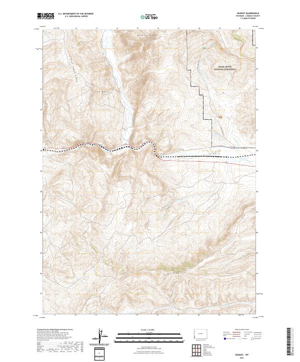
1985 Nugget
Lincoln County, WY
1985 Red Gap
Lincoln County, WY
1985 Sage
Lincoln County, WY
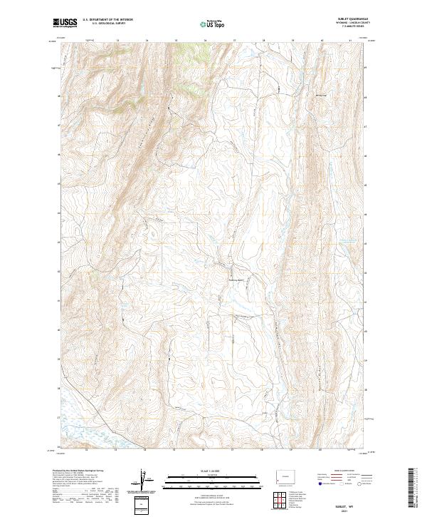
1985 Sublet
Lincoln County, WY
1985 The Palisades
Lincoln County, WY
1985 The Rock Slide
Lincoln County, WY
1996 Bailey Lake
Lincoln County, WY
1996 Ferry Peak
Lincoln County, WY
1996 Pickle Pass
Lincoln County, WY
1996 Pine Creek
Lincoln County, WY
2010 Leefe
Lincoln County, WY
2011 Giraffe Creek
Lincoln County, WY
2011 Thayne West
Lincoln County, WY
2012 Anderson Canyon
Lincoln County, WY
2012 Bailey Lake
Lincoln County, WY
2012 Beckwith
Lincoln County, WY
2012 Bell Butte NE
Lincoln County, WY
2012 Big Park
Lincoln County, WY
2012 Blind Bull Creek
Lincoln County, WY
2012 Box Canyon Creek
Lincoln County, WY
2012 Church Butte NW
Lincoln County, WY
2012 Coal Creek
Lincoln County, WY
2012 Cow Hollow Creek
Lincoln County, WY
2012 Deer Creek
Lincoln County, WY
2012 Devils Hole Creek
Lincoln County, WY
2012 Elkol
Lincoln County, WY
2012 Ferry Peak
Lincoln County, WY
2012 Fontenelle Basin
Lincoln County, WY
2012 Fontenelle Gap
Lincoln County, WY
2012 Fontenelle Reservoir SE
Lincoln County, WY
2012 Fontenelle Reservoir SW
Lincoln County, WY
2012 Fontenelle SE
Lincoln County, WY
2012 Fort Hill
Lincoln County, WY
2012 Fossil
Lincoln County, WY
2012 Graham Peak
Lincoln County, WY
2012 Graham Reservoir
Lincoln County, WY
2012 Huff Lake
Lincoln County, WY
2012 Kemmerer Reservoir
Lincoln County, WY
2012 Leefe
Lincoln County, WY
2012 Little Round Mountain
Lincoln County, WY
2012 Man Peak
Lincoln County, WY
2012 Marse
Lincoln County, WY
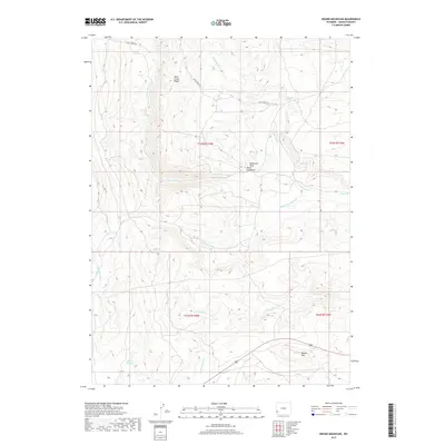
2012 Mount Wagner
Lincoln County, WY
2012 Moxa
Lincoln County, WY
2012 Names Hill
Lincoln County, WY
2012 Nugent Park
Lincoln County, WY
2012 Nugget
Lincoln County, WY
2012 Park Creek
Lincoln County, WY
2012 Pickle Pass
Lincoln County, WY
2012 Pine Creek
Lincoln County, WY
2012 Poison Meadows
Lincoln County, WY
2012 Pole Creek
Lincoln County, WY
2012 Porcupine Creek
Lincoln County, WY
2012 Red Gap
Lincoln County, WY
2012 Red Top Mountain
Lincoln County, WY
2012 Roberson Creek
Lincoln County, WY
2012 Rock Lake Peak
Lincoln County, WY
2012 Round Mountain
Lincoln County, WY
2012 Sage
Lincoln County, WY
2012 Salt Flat
Lincoln County, WY
2012 Shute Creek Lake
Lincoln County, WY
2012 South Fork Mountain
Lincoln County, WY
2012 Stewart Peak
Lincoln County, WY
2012 Sublet
Lincoln County, WY
2012 Sublette Canyon
Lincoln County, WY
2012 Thayne East
Lincoln County, WY
2012 The Palisades
Lincoln County, WY
2012 The Rock Slide
Lincoln County, WY
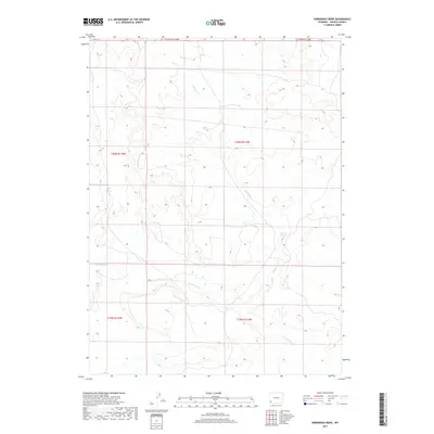
2012 Warfield Creek
Lincoln County, WY
2012 Wilkinson Creek
Lincoln County, WY
2012 Willow Springs
Lincoln County, WY
2012 Windy Point
Lincoln County, WY

2015 Anderson Canyon
Lincoln County, WY
2015 Bailey Lake
Lincoln County, WY
2015 Beckwith
Lincoln County, WY
2015 Bell Butte NE
Lincoln County, WY
2015 Big Park
Lincoln County, WY
2015 Blind Bull Creek
Lincoln County, WY
2015 Box Canyon Creek
Lincoln County, WY
2015 Church Butte NW
Lincoln County, WY
2015 Coal Creek
Lincoln County, WY
2015 Cow Hollow Creek
Lincoln County, WY
2015 Deer Creek
Lincoln County, WY
2015 Devils Hole Creek
Lincoln County, WY
2015 Elkol
Lincoln County, WY
2015 Ferry Peak
Lincoln County, WY
2015 Fontenelle Basin
Lincoln County, WY
2015 Fontenelle Gap
Lincoln County, WY
2015 Fontenelle Reservoir SE
Lincoln County, WY
2015 Fontenelle Reservoir SW
Lincoln County, WY
2015 Fontenelle SE
Lincoln County, WY
2015 Fort Hill
Lincoln County, WY
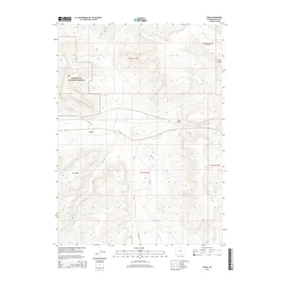
2015 Fossil
Lincoln County, WY

2015 Giraffe Creek
Lincoln County, WY
2015 Graham Peak
Lincoln County, WY
2015 Graham Reservoir
Lincoln County, WY
2015 Huff Lake
Lincoln County, WY
2015 Kemmerer Reservoir
Lincoln County, WY
2015 Leefe
Lincoln County, WY
2015 Little Round Mountain
Lincoln County, WY
2015 Man Peak
Lincoln County, WY
2015 Marse
Lincoln County, WY
2015 Mount Wagner
Lincoln County, WY
2015 Moxa
Lincoln County, WY
2015 Names Hill
Lincoln County, WY
2015 Nugent Park
Lincoln County, WY
2015 Nugget
Lincoln County, WY
2015 Park Creek
Lincoln County, WY
2015 Pickle Pass
Lincoln County, WY
2015 Pine Creek
Lincoln County, WY
2015 Poison Meadows
Lincoln County, WY
2015 Pole Creek
Lincoln County, WY
2015 Porcupine Creek
Lincoln County, WY
2015 Red Gap
Lincoln County, WY
2015 Red Top Mountain
Lincoln County, WY
2015 Roberson Creek
Lincoln County, WY
2015 Rock Lake Peak
Lincoln County, WY
2015 Round Mountain
Lincoln County, WY
2015 Sage
Lincoln County, WY
2015 Salt Flat
Lincoln County, WY
2015 Shute Creek Lake
Lincoln County, WY
2015 South Fork Mountain
Lincoln County, WY
2015 Stewart Peak
Lincoln County, WY
2015 Sublet
Lincoln County, WY
2015 Sublette Canyon
Lincoln County, WY
2015 Thayne East
Lincoln County, WY
2015 Thayne West
Lincoln County, WY
2015 The Palisades
Lincoln County, WY
2015 The Rock Slide
Lincoln County, WY
2015 Warfield Creek
Lincoln County, WY
2015 Wilkinson Creek
Lincoln County, WY
2015 Willow Springs
Lincoln County, WY
2015 Windy Point
Lincoln County, WY
2017 Anderson Canyon
Lincoln County, WY
2017 Bailey Lake
Lincoln County, WY
2017 Beckwith
Lincoln County, WY
2017 Bell Butte NE
Lincoln County, WY
2017 Big Park
Lincoln County, WY
2017 Blind Bull Creek
Lincoln County, WY
2017 Box Canyon Creek
Lincoln County, WY
2017 Church Butte NW
Lincoln County, WY
2017 Coal Creek
Lincoln County, WY
2017 Cow Hollow Creek
Lincoln County, WY
2017 Deer Creek
Lincoln County, WY
2017 Devils Hole Creek
Lincoln County, WY
2017 Elkol
Lincoln County, WY
2017 Ferry Peak
Lincoln County, WY
2017 Fontenelle Gap
Lincoln County, WY
2017 Fontenelle Reservoir SW
Lincoln County, WY
2017 Fontenelle SE
Lincoln County, WY
2017 Fossil
Lincoln County, WY
2017 Graham Peak
Lincoln County, WY
2017 Graham Reservoir
Lincoln County, WY
2017 Huff Lake
Lincoln County, WY
2017 Kemmerer Reservoir
Lincoln County, WY
2017 Little Round Mountain
Lincoln County, WY
2017 Man Peak
Lincoln County, WY
2017 Mount Wagner
Lincoln County, WY
2017 Moxa
Lincoln County, WY
2017 Names Hill
Lincoln County, WY
2017 Nugget
Lincoln County, WY
2017 Park Creek
Lincoln County, WY
2017 Pine Creek
Lincoln County, WY
2017 Poison Meadows
Lincoln County, WY
2017 Porcupine Creek
Lincoln County, WY
2017 Red Gap
Lincoln County, WY
2017 Red Top Mountain
Lincoln County, WY
2017 Roberson Creek
Lincoln County, WY
2017 Rock Lake Peak
Lincoln County, WY
2017 Round Mountain
Lincoln County, WY
2017 Sage
Lincoln County, WY
2017 Salt Flat
Lincoln County, WY
2017 Shute Creek Lake
Lincoln County, WY
2017 South Fork Mountain
Lincoln County, WY
2017 Stewart Peak
Lincoln County, WY
2017 Sublet
Lincoln County, WY
2017 Sublette Canyon
Lincoln County, WY
2017 The Palisades
Lincoln County, WY
2017 The Rock Slide
Lincoln County, WY
2017 Warfield Creek
Lincoln County, WY
2017 Wilkinson Creek
Lincoln County, WY
2017 Willow Springs
Lincoln County, WY
2017 Windy Point
Lincoln County, WY
2018 Fontenelle Basin
Lincoln County, WY
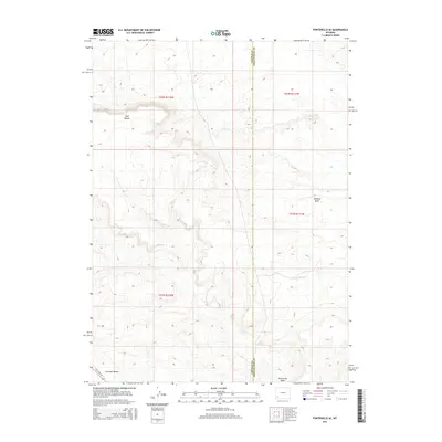
2018 Fontenelle Reservoir SE
Lincoln County, WY
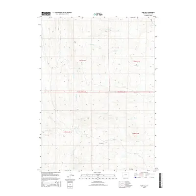
2018 Fort Hill
Lincoln County, WY
2018 Giraffe Creek
Lincoln County, WY
2018 Leefe
Lincoln County, WY
2018 Marse
Lincoln County, WY
2018 Nugent Park
Lincoln County, WY
2018 Pickle Pass
Lincoln County, WY
2018 Pole Creek
Lincoln County, WY
2018 Thayne East
Lincoln County, WY
2018 Thayne West
Lincoln County, WY
2021 Anderson Canyon
Lincoln County, WY
2021 Bailey Lake
Lincoln County, WY
2021 Beckwith
Lincoln County, WY
2021 Bell Butte NE
Lincoln County, WY
2021 Big Park
Lincoln County, WY
2021 Blind Bull Creek
Lincoln County, WY
2021 Box Canyon Creek
Lincoln County, WY
2021 Church Butte NW
Lincoln County, WY
2021 Coal Creek
Lincoln County, WY
2021 Cow Hollow Creek
Lincoln County, WY
2021 Deer Creek
Lincoln County, WY
2021 Devils Hole Creek
Lincoln County, WY
2021 Elkol
Lincoln County, WY
2021 Ferry Peak
Lincoln County, WY
2021 Fontenelle Basin
Lincoln County, WY
2021 Fontenelle Gap
Lincoln County, WY
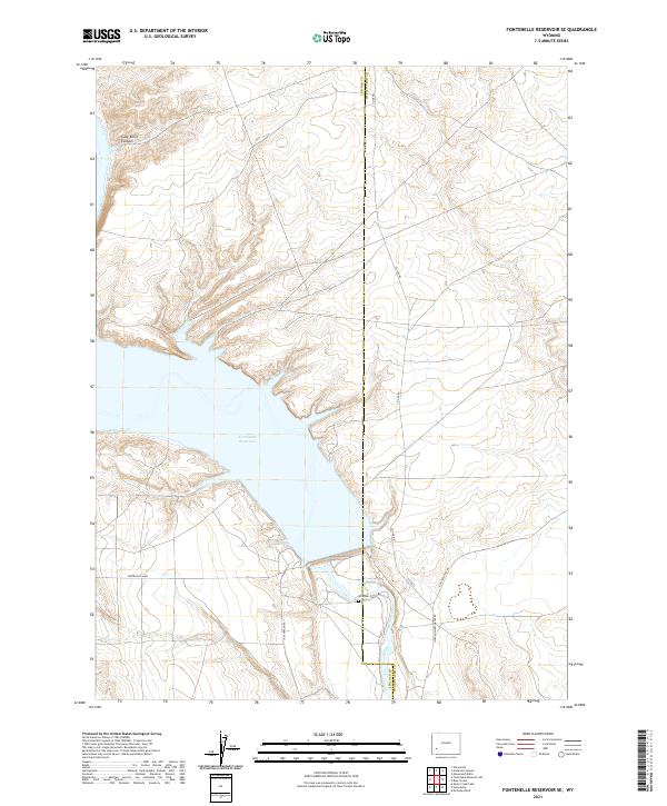
2021 Fontenelle Reservoir SE
Lincoln County, WY
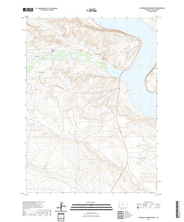
2021 Fontenelle Reservoir SW
Lincoln County, WY
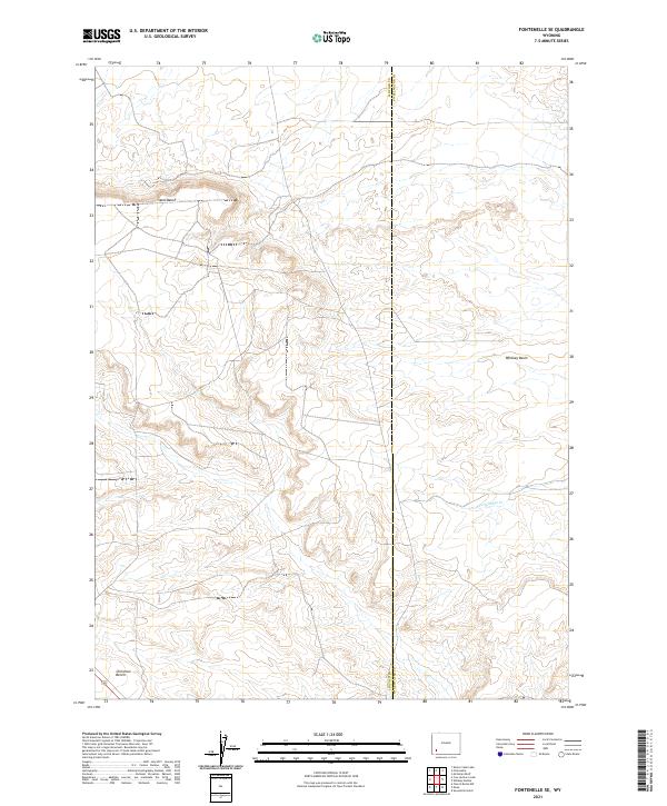
2021 Fontenelle SE
Lincoln County, WY
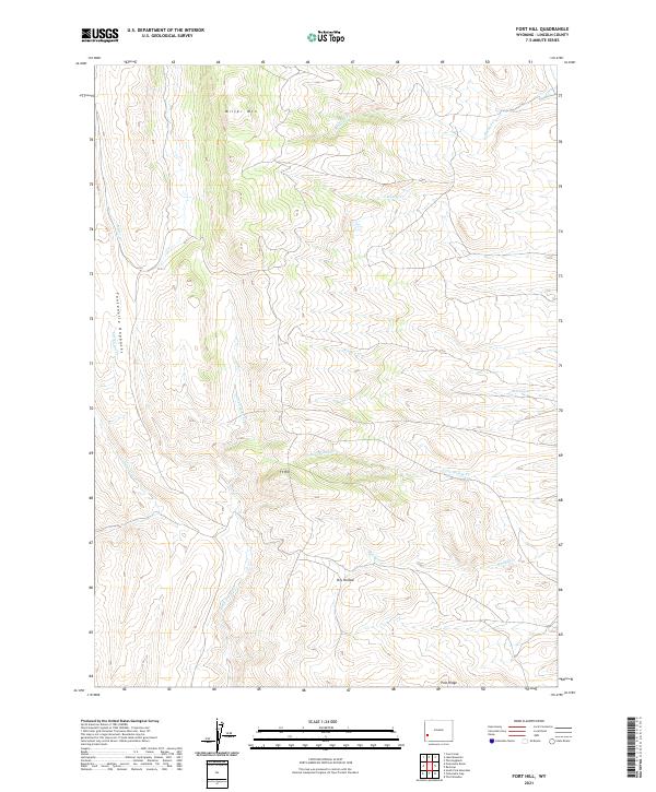
2021 Fort Hill
Lincoln County, WY
2021 Fossil
Lincoln County, WY
2021 Giraffe Creek
Lincoln County, WY
2021 Graham Peak
Lincoln County, WY
2021 Graham Reservoir
Lincoln County, WY
2021 Huff Lake
Lincoln County, WY
2021 Kemmerer Reservoir
Lincoln County, WY
2021 Leefe
Lincoln County, WY
2021 Little Round Mountain
Lincoln County, WY
2021 Man Peak
Lincoln County, WY
2021 Marse
Lincoln County, WY
2021 Mount Wagner
Lincoln County, WY
2021 Moxa
Lincoln County, WY
2021 Names Hill
Lincoln County, WY
2021 Nugent Park
Lincoln County, WY
2021 Nugget
Lincoln County, WY

2021 Park Creek
Lincoln County, WY
2021 Pickle Pass
Lincoln County, WY
2021 Pine Creek
Lincoln County, WY
2021 Poison Meadows
Lincoln County, WY
2021 Pole Creek
Lincoln County, WY
2021 Porcupine Creek
Lincoln County, WY
2021 Red Gap
Lincoln County, WY
2021 Red Top Mountain
Lincoln County, WY
2021 Roberson Creek
Lincoln County, WY
2021 Rock Lake Peak
Lincoln County, WY
2021 Round Mountain
Lincoln County, WY

2021 Sage
Lincoln County, WY
2021 Salt Flat
Lincoln County, WY
2021 Shute Creek Lake
Lincoln County, WY
2021 South Fork Mountain
Lincoln County, WY
2021 Stewart Peak
Lincoln County, WY
2021 Sublet
Lincoln County, WY
2021 Sublette Canyon
Lincoln County, WY
2021 Thayne East
Lincoln County, WY
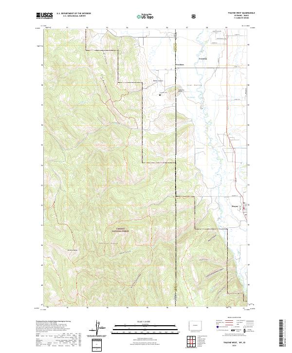
2021 Thayne West
Lincoln County, WY
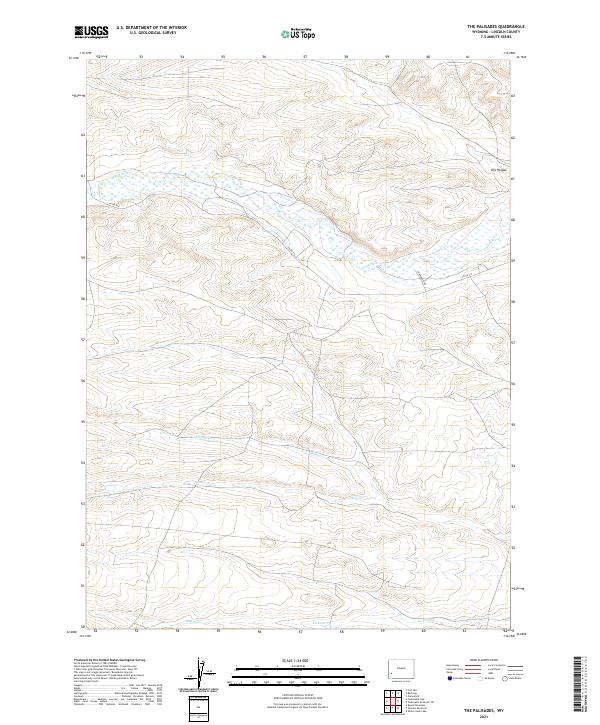
2021 The Palisades
Lincoln County, WY
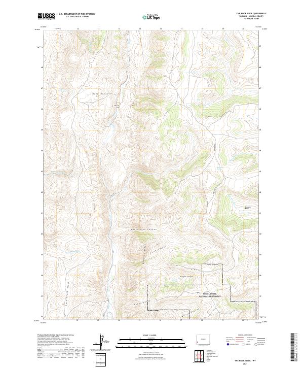
2021 The Rock Slide
Lincoln County, WY
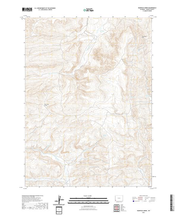
2021 Warfield Creek
Lincoln County, WY
2021 Wilkinson Creek
Lincoln County, WY
2021 Willow Springs
Lincoln County, WY
2021 Windy Point
Lincoln County, WY
2023 Deer Creek
Lincoln County, WY
2023 Ferry Peak
Lincoln County, WY
2023 Stewart Peak
Lincoln County, WY