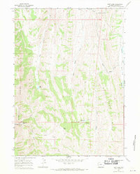
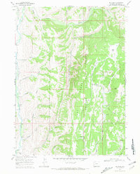
1967 Map of Huff Lake
USGS Topo · Published 1970About this map
Huff Lake lies at the heart of this high-altitude landscape in Lincoln County, where the steep eastern slopes of the Sublette Range meet a complex network of drainage basins. The area is defined by its seasonal water flow, with the Fourth Creek Reservoir capturing runoff from Fourth Creek before it joins the larger hydrological system. A system of fence lines, carefully noted across the terrain, indicates the vital role of livestock grazing in this remote corner of Wyoming during the late 1960s. The topography is anchored by prominent landmarks such as Pine Knoll and the long north-south spine of Muddy Ridge. To the south, Raymond Basin and the narrow passage of Raymond Canyon showcase the region's dramatic vertical relief, where several unnamed springs feed into the Huff Creek and Muddy Creek watersheds.
Find a feature on this map
19 named features on this map. Tap any name to fly to it.
Don’t see what you’re looking for? This feature index may not catch every label — zoom into the map to look around manually.
Map Details
Editions of this 1967 Huff Lake Map
2 editions found
Other maps of this area

1909 · Montpelier
USGS Topo · 1:125,000

1911 · Montpelier
USGS Topo · 1:125,000
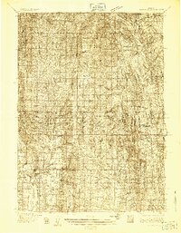
1936 · Cokeville
USGS Topo · 1:96,000
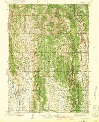
1942 · Cokeville
USGS Topo · 1:125,000

1955 · Preston
USGS Topo · 1:250,000

1958 · Preston
USGS Topo · 1:250,000

1962 · Preston
USGS Topo · 1:250,000
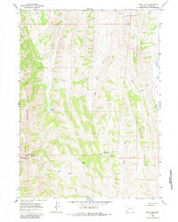
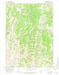
1967 · Big Park
USGS Topo · 1:24,000
1967 · Porcupine Creek
USGS Topo · 1:24,000
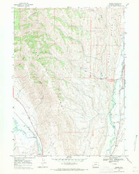
1967 · Marse
USGS Topo · 1:24,000