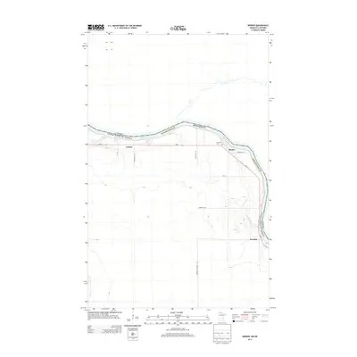
2013 Map of Border
USGS Topo · Published 2013About this map
The Rainy River defines the international boundary between the United States and Canada in this northernmost reach of Minnesota. This 2013 survey of Koochiching County depicts a landscape shaped by rural riverfront settlement, where small communities like Border and Central sit along the south bank. The terrain is notably defined by the river’s winding course and its tributaries, such as Whitefish Cr, which drains into the main waterway near Frontier.
Find a feature on this map
17 named features on this map. Tap any name to fly to it.
Don’t see what you’re looking for? This feature index may not catch every label — zoom into the map to look around manually.
Map Details
Editions of this 2013 Border Map
This is the sole edition of this map. No revisions or reprints were ever made.
Other maps of this area

1919 · Birchdale
USGS Topo · 1:62,500

1954 · Roseau
USGS Topo · 1:250,000

1957 · Roseau
USGS Topo · 1:250,000

1958 · Roseau
USGS Topo · 1:250,000

1968 · Clementson
USGS Topo · 1:24,000

1968 · Birchdale SW
USGS Topo · 1:24,000

1968 · Stratton
USGS Topo · 1:24,000

1968 · Border
USGS Topo · 1:24,000

1968 · Clementson SW
USGS Topo · 1:24,000

1968 · Clementson SE
USGS Topo · 1:24,000