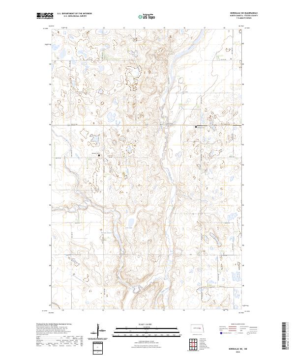
2024 Map of Bordulac
USGS Topo · Published 2024About this map
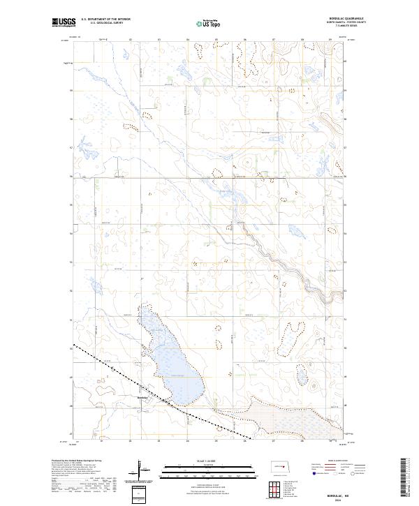
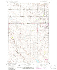
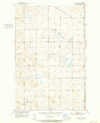
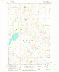
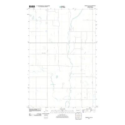
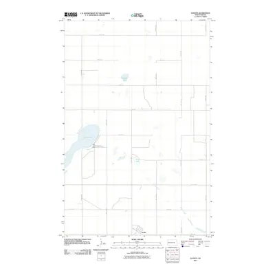
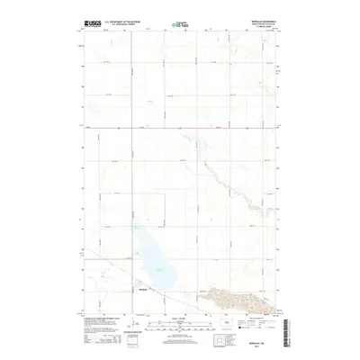
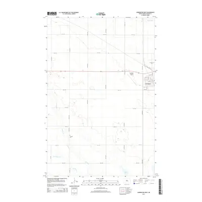
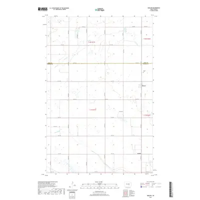
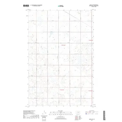
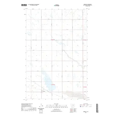
Lake George dominates the southern landscape of this Foster County quadrangle, a significant water feature in a region defined by prairie potholes and glacial depressions. The small settlement of Bordulac is situated along the western shore of the lake, serving as a focal point for the surrounding agricultural township. The terrain is characterized by the meandering path of Kelly Creek, which winds across the northern and eastern sections of the map, carving a gentle drainage through the central plains. This modern survey illustrates the organized grid of the Public Land Survey System, with township lines such as t145n r65w and t146n r65w framing the sectioned fields. The local transportation network is primarily composed of numbered section-line roads, including Main St E and 74th Ave SE, which connect the scattered farmsteads to the lakeside community.
Find a feature on this map
27 named features on this map. Tap any name to fly to it.
Don’t see what you’re looking for? This feature index may not catch every label — zoom into the map to look around manually.
Map Details
Editions of this 2024 Bordulac Map
This is the sole edition of this map. No revisions or reprints were ever made.
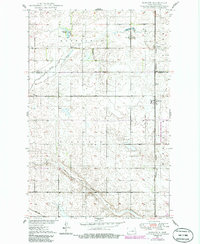
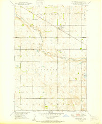
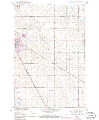
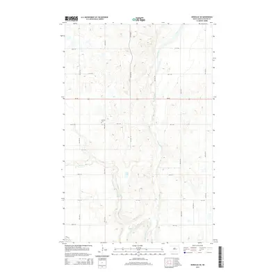
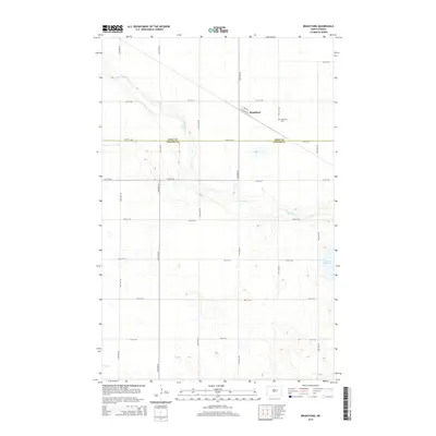
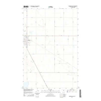
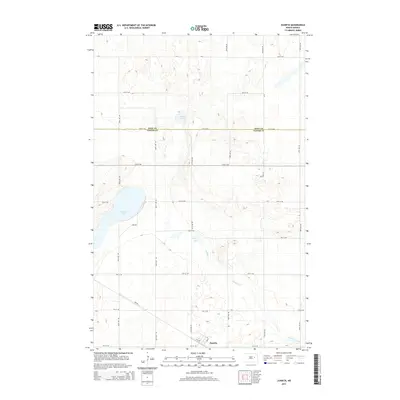
Historical Maps of Bordulac Through Time
54 maps found
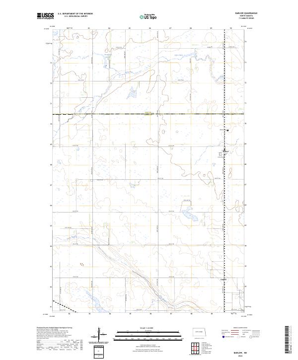
1950 Barlow
Foster County, ND
1950 Brantford
Foster County, ND
1950 Carrington East
Foster County, ND
1950 Carrington West
Foster County, ND
1950 New Rockford SE
Foster County, ND
1951 Bordulac
Foster County, ND
1951 Bordulac NE
Foster County, ND
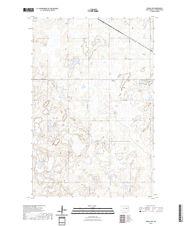
1951 Kensal NW
Foster County, ND
1961 Juanita
Foster County, ND
2011 Barlow
Foster County, ND
2011 Bordulac
Foster County, ND
2011 Bordulac NE
Foster County, ND
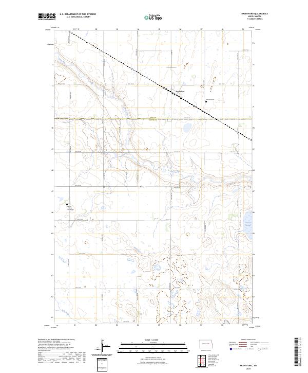
2011 Brantford
Foster County, ND
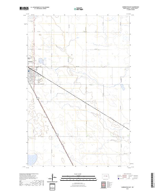
2011 Carrington East
Foster County, ND
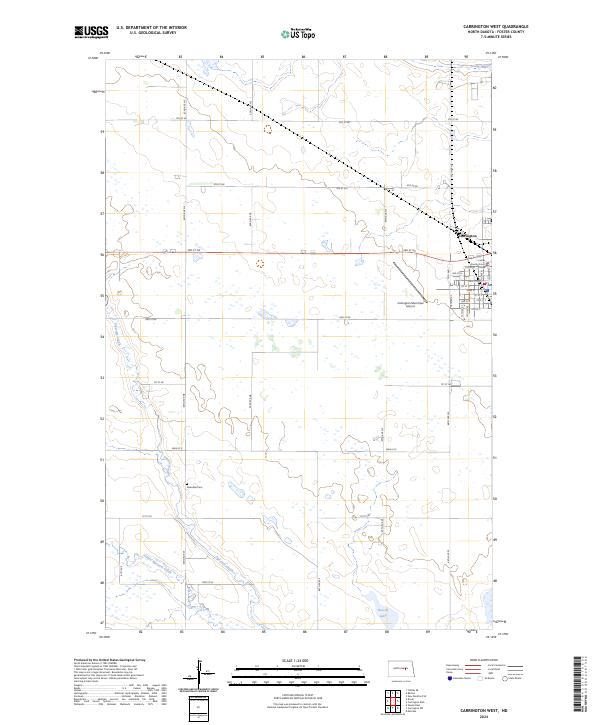
2011 Carrington West
Foster County, ND
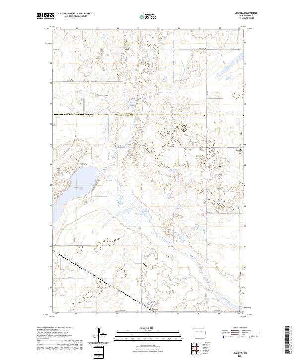
2011 Juanita
Foster County, ND
2011 Kensal NW
Foster County, ND
2011 New Rockford SE
Foster County, ND
2014 Barlow
Foster County, ND
2014 Bordulac
Foster County, ND
2014 Bordulac NE
Foster County, ND
2014 Brantford
Foster County, ND
2014 Carrington East
Foster County, ND
2014 Carrington West
Foster County, ND
2014 Juanita
Foster County, ND
2014 Kensal NW
Foster County, ND
2014 New Rockford SE
Foster County, ND
2017 Barlow
Foster County, ND
2017 Carrington East
Foster County, ND
2018 Bordulac
Foster County, ND
2018 Bordulac NE
Foster County, ND
2018 Brantford
Foster County, ND
2018 Carrington West
Foster County, ND
2018 Juanita
Foster County, ND
2018 Kensal NW
Foster County, ND
2018 New Rockford SE
Foster County, ND
2020 Barlow
Foster County, ND
2020 Bordulac
Foster County, ND
2020 Bordulac NE
Foster County, ND
2020 Brantford
Foster County, ND
2020 Carrington East
Foster County, ND
2020 Carrington West
Foster County, ND
2020 Juanita
Foster County, ND
2020 Kensal NW
Foster County, ND
2020 New Rockford SE
Foster County, ND
2024 Barlow
Foster County, ND
2024 Bordulac
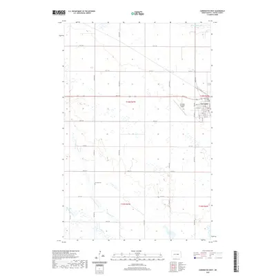
Foster County, ND
2024 Bordulac NE
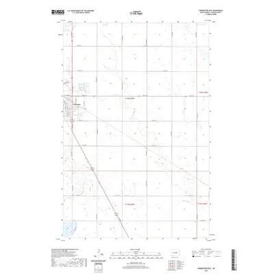
Foster County, ND
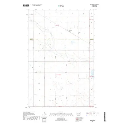
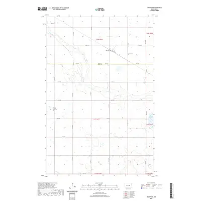
2024 Brantford
Foster County, ND
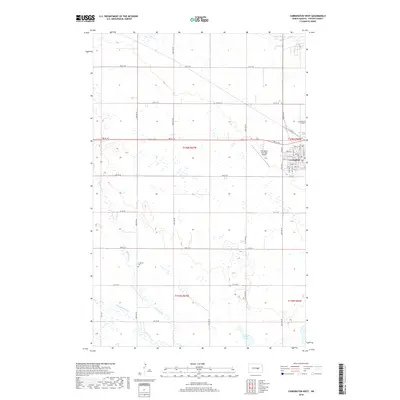
2024 Carrington East
Foster County, ND
2024 Carrington West
Foster County, ND
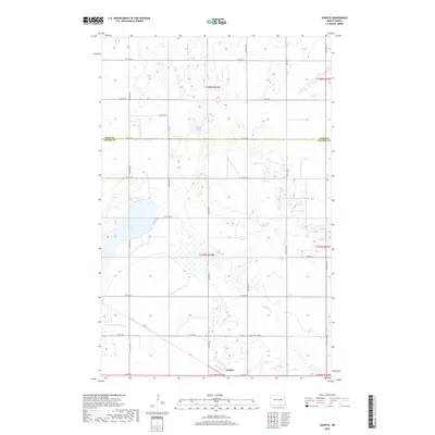
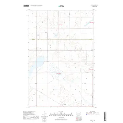
2024 Juanita
Foster County, ND
2024 Kensal NW
Foster County, ND
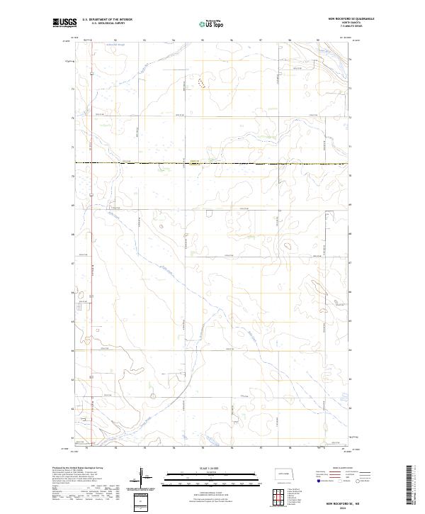
2024 New Rockford SE
Foster County, ND