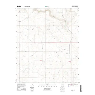
2013 Map of Borica
USGS Topo · Published 2013About this map
Borica serves as a central anchor in this high-plains landscape of Guadalupe County, where ranching heritage is clearly etched into the terrain. The map details a network of family-held lands, including the Montoya Ranch, White Ranch, and Sena Ranch, reflecting a long-standing pattern of pastoral settlement. These holdings are linked by utilitarian routes like NM-203 and Hughes Rd, which traverse the undulating draws and mesas characteristic of this New Mexico region.
Find a feature on this map
19 named features on this map. Tap any name to fly to it.
Don’t see what you’re looking for? This feature index may not catch every label — zoom into the map to look around manually.
Map Details
Editions of this 2013 Borica Map
This is the sole edition of this map. No revisions or reprints were ever made.
Other maps of this area

1954 · Fort Sumner
USGS Topo · 1:250,000

1958 · Fort Sumner
USGS Topo · 1:250,000

1963 · Puerto Creek
USGS Topo · 1:24,000

1963 · Puerto De Luna
USGS Topo · 1:24,000

1966 · Ojo Negro Creek
USGS Topo · 1:24,000

1966 · Borica SW
USGS Topo · 1:24,000

1966 · Cooper Ranch
USGS Topo · 1:24,000

1966 · Borica
USGS Topo · 1:24,000

1978 · El Morro Ranch SE
USGS Topo · 1:24,000

1978 · Laguna De Los Terreros
USGS Topo · 1:24,000