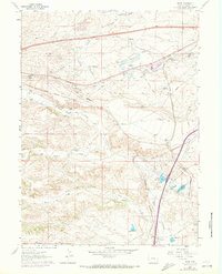
1961 Map of Borie
USGS Topo · Published 1972About this map
The Union Pacific railroad corridor anchors this high plains landscape south of Cheyenne, where the steel rails of the main line and the Speer junction define the regional movement of goods and people. The map illustrates the specialized infrastructure required to support this arid environment, including an extensive Aqueduct and Pipeline system alongside reservoirs like Polaris Reservoir and Valley Reservoir.
Find a feature on this map
28 named features on this map. Tap any name to fly to it.
Don’t see what you’re looking for? This feature index may not catch every label — zoom into the map to look around manually.
Map Details
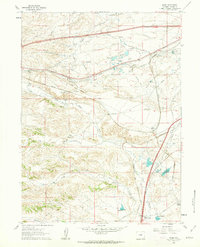
Editions of this 1961 Borie Map
2 editions found
Other maps of this area

1905 · Sherman
USGS Topo · 1:125,000

1907 · Livermore
USGS Topo · 1:125,000

1908 · Eaton
USGS Topo · 1:125,000

1909 · Livermore
USGS Topo · 1:125,000

1910 · Eaton
USGS Topo · 1:125,000

1911 · Cheyenne
USGS Topo · 1:125,000

1914 · Cheyenne
USGS Topo · 1:125,000

1950 · Cheyenne
USGS Topo · 1:62,500

1954 · Cheyenne
USGS Topo · 1:250,000

1954 · Greeley
USGS Topo · 1:250,000