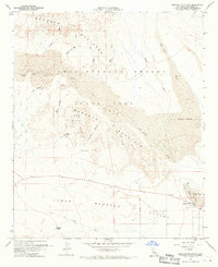
1960 Map of Borrego Mountain
USGS Topo · Published 1970About this map
The arid landscape of the Anza-Borrego Desert State Park reveals a complex network of seasonal drainages and topographic landmarks in the mid-20th century. Centered around Borrego Mountain, the map details a terrain carved by San Felipe Creek and its many tributaries, including Rainbow Wash and Blow Sand Canyon. The settlement of Ocotillo Wells sits at the eastern edge near the Ocotillo Wells County Airport, serving as a hub for desert travel. Historic transit routes like the Old Kane Spring Road and various Jeep Trails provide access to notable geological features such as the Borrego Badlands, the Hills of the Moon, and a narrow passage known as The Slot. This survey provides a precise record of the desert's hydrology, from the low-lying Borrego Sink to isolated watering points like Kane Spring and Benson Lake.
Find a feature on this map
33 named features on this map. Tap any name to fly to it.
Don’t see what you’re looking for? This feature index may not catch every label — zoom into the map to look around manually.
Map Details
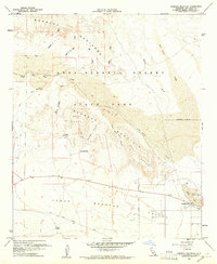
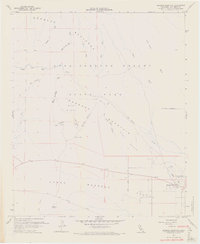
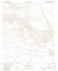
Editions of this 1960 Borrego Mountain Map
4 editions found
Other maps of this area

1904 · Indio
USGS Topo · 1:125,000

1931 · Vallecito
USGS Topo · 1:125,000

1939 · Borrego
USGS Topo · 1:62,500

1941 · Clark Lake
USGS Topo · 1:62,500

1942 · Barrel Spring
USGS Topo · 1:62,500

1942 · Agua Dulce
USGS Topo · 1:62,500

1942 · Clark Lake
USGS Topo · 1:62,500

1942 · Borego
USGS Topo · 1:62,500

1943 · Vallecito
USGS Topo · 1:125,000

1944 · Agua Dulce
USGS Topo · 1:62,500