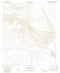
1960 Map of Borrego Mountain
USGS Topo · Published 1981About this map
Anza-Borrego Desert State Park dominates this desert landscape, revealing a network of seasonal washes and shifting sands that shaped early travel through eastern San Diego County. The topography is defined by the Borrego Badlands and prominent formations such as West Butte and East Butte. Geologic features like The Slot and the Hills of the Moon highlight the erosional character of the terrain. Human activity is clustered around the small settlement of Ocotillo Wells, which serves as a hub near the Ocotillo Wells County Airport and the ephemeral Benson Lake. Old transportation routes are preserved as a series of Jeep Trails and the historic Old Kane Spring Road, while the Cactus Garden and various wells mark specific points of navigation in the Lower Borrego Valley.
Find a feature on this map
31 named features on this map. Tap any name to fly to it.
Don’t see what you’re looking for? This feature index may not catch every label — zoom into the map to look around manually.
Map Details
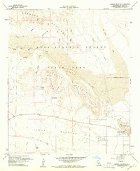
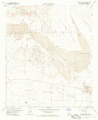
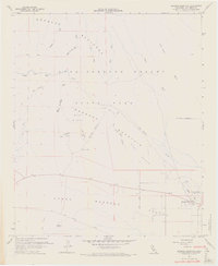
Editions of this 1960 Borrego Mountain Map
4 editions found
Other maps of this area

1904 · Indio
USGS Topo · 1:125,000

1931 · Vallecito
USGS Topo · 1:125,000

1939 · Borrego
USGS Topo · 1:62,500

1941 · Clark Lake
USGS Topo · 1:62,500

1942 · Barrel Spring
USGS Topo · 1:62,500

1942 · Agua Dulce
USGS Topo · 1:62,500

1942 · Clark Lake
USGS Topo · 1:62,500

1942 · Borego
USGS Topo · 1:62,500

1943 · Vallecito
USGS Topo · 1:125,000

1944 · Agua Dulce
USGS Topo · 1:62,500