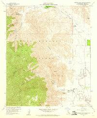
1959 Map of Borrego Palm Canyon
USGS Topo · Published 1960About this map
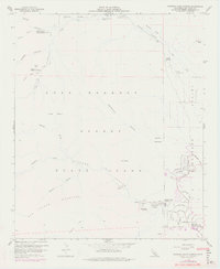
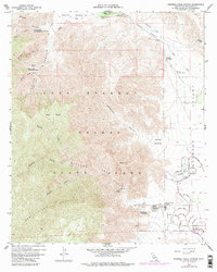
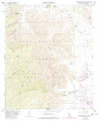
Anza-Borrego Desert State Park dominates this late-1950s survey, illustrating a landscape defined by its canyon systems and the early expansion of Borrego Springs. In the lower-right, a grid of residential and resort development emerges, with several roads noted as being under construction. This burgeoning desert community is contrasted by the high, remote terrain of San Ysidro Mountain and Palm Mesa to the west. Evidence of the region’s historical and recreational significance is seen in labels for the El Vado Historical Marker and the Sheep Canyon Ranger Station. The drainage patterns of Coyote Creek and its many tributaries, including Indian Creek and Henderson Canyon, are intricately mapped, providing a clear picture of the hydrological challenges and natural landmarks like the Valley of the Thousand Springs that defined this portion of San Diego County.
Find a feature on this map
57 named features on this map. Tap any name to fly to it.
Don’t see what you’re looking for? This feature index may not catch every label — zoom into the map to look around manually.
Map Details
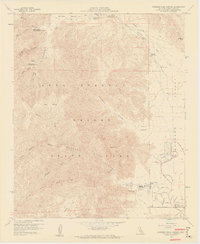
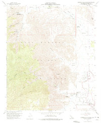
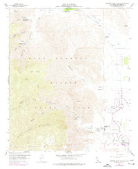
Editions of this 1959 Borrego Palm Canyon Map
7 editions found
Other maps of this area

1903 · Ramona
USGS Topo · 1:125,000

1904 · Indio
USGS Topo · 1:125,000

1904 · Southern California Sheet No. 2
USGS Topo · 1:250,000

1931 · Vallecito
USGS Topo · 1:125,000

1939 · Warner Springs
USGS Topo · 1:62,500

1939 · Santa Ysabel
USGS Topo · 1:62,500

1939 · Borrego
USGS Topo · 1:62,500

1941 · Clark Lake
USGS Topo · 1:62,500

1942 · Clark Lake
USGS Topo · 1:62,500

1942 · Borego
USGS Topo · 1:62,500