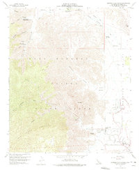
1959 Map of Borrego Palm Canyon
USGS Topo · Published 1975About this map
Anza-Borrego Desert State Park dominates this mid-century landscape, where steep canyons and arid flats meet the early development of Borrego Springs. The survey captures the transition from wilderness to a desert retreat, noting the State Park Headquarters and the Borrego Palms Resort at the base of the mountains. To the north, Collins Valley and the Sheep Canyon Ranger Station serve as remote outposts, connected by a network of jeep trails and an Indian Trail that climbs toward Palm Mesa. The mapping reveals the area's dependency on rare water sources like Santa Catarina Spring and the Gaging Station on Coyote Creek. Below the prominent peak of Indianhead, the desert floor begins to sprout a residential grid including Catarina Drive and the De Anza Desert Country Club, marking the mid-century transformation of the Borrego Valley into a seasonal destination.
Find a feature on this map
56 named features on this map. Tap any name to fly to it.
Don’t see what you’re looking for? This feature index may not catch every label — zoom into the map to look around manually.
Map Details
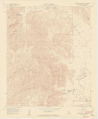
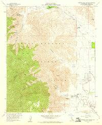
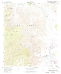
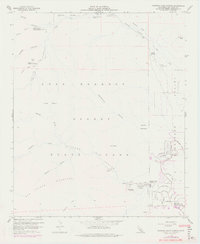
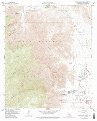
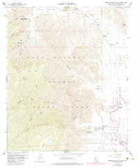
Editions of this 1959 Borrego Palm Canyon Map
7 editions found
Other maps of this area

1903 · Ramona
USGS Topo · 1:125,000

1904 · Indio
USGS Topo · 1:125,000

1904 · Southern California Sheet No. 2
USGS Topo · 1:250,000

1931 · Vallecito
USGS Topo · 1:125,000

1939 · Warner Springs
USGS Topo · 1:62,500

1939 · Santa Ysabel
USGS Topo · 1:62,500

1939 · Borrego
USGS Topo · 1:62,500

1941 · Clark Lake
USGS Topo · 1:62,500

1942 · Clark Lake
USGS Topo · 1:62,500

1942 · Borego
USGS Topo · 1:62,500