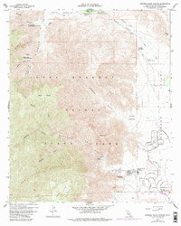
1959 Map of Borrego Palm Canyon
USGS Topo · Published 1984About this map
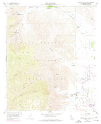
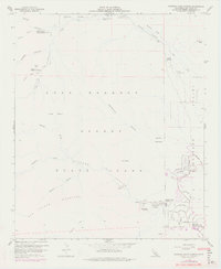
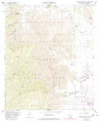
San Ysidro Mountain towers over the basin where the desert floor meets the steep granite slopes of the Peninsular Ranges. This mid-century survey documents the transition of Borrego Springs from a remote outpost into a planned desert community. The street layout in the southeast corner around Ocotillo Circle and Verbena Drive shows residential expansion alongside recreation at the De Anza Country Club. Outside the developing town center, the landscape is defined by the massive Anza-Borrego Desert State Park, featuring deep cuts like Palm Canyon and Hellhole Canyon. The survival of these settlements is tied directly to the water sources and infrastructure shown, from the Santa Catarina Spring in Collins Valley to the network of wells and gaging stations necessary for habitation in the arid Borrego Valley.
Find a feature on this map
53 named features on this map. Tap any name to fly to it.
Don’t see what you’re looking for? This feature index may not catch every label — zoom into the map to look around manually.
Map Details
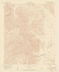
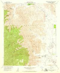
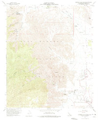
Editions of this 1959 Borrego Palm Canyon Map
7 editions found
Other maps of this area

1903 · Ramona
USGS Topo · 1:125,000

1904 · Indio
USGS Topo · 1:125,000

1904 · Southern California Sheet No. 2
USGS Topo · 1:250,000

1931 · Vallecito
USGS Topo · 1:125,000

1939 · Warner Springs
USGS Topo · 1:62,500

1939 · Santa Ysabel
USGS Topo · 1:62,500

1939 · Borrego
USGS Topo · 1:62,500

1941 · Clark Lake
USGS Topo · 1:62,500

1942 · Clark Lake
USGS Topo · 1:62,500

1942 · Borego
USGS Topo · 1:62,500