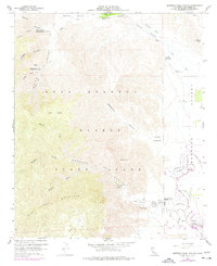
1959 Map of Borrego Palm Canyon
USGS Topo · Published 1977About this map
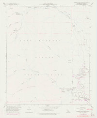
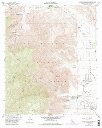
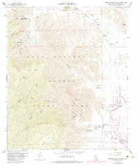
Anza-Borrego Desert State Park dominates this terrain, revealing the mid-century development and topographical complexity of this arid California landscape. The settlement of Borrego Springs is shown at a point of growth, with street grids like Ocotillo Circle and Saddle Rd appearing alongside established landmarks such as the State Park Headquarters and Rancho De Anza. The map is particularly detailed regarding water resources and early travel routes, marking the Santa Catarina Spring and the El Vado Historical Marker in Coyote Creek canyon.
Find a feature on this map
51 named features on this map. Tap any name to fly to it.
Don’t see what you’re looking for? This feature index may not catch every label — zoom into the map to look around manually.
Map Details
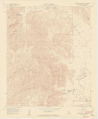
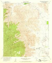
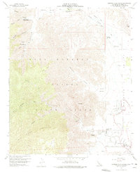
Editions of this 1959 Borrego Palm Canyon Map
7 editions found
Other maps of this area

1903 · Ramona
USGS Topo · 1:125,000

1904 · Indio
USGS Topo · 1:125,000

1904 · Southern California Sheet No. 2
USGS Topo · 1:250,000

1931 · Vallecito
USGS Topo · 1:125,000

1939 · Warner Springs
USGS Topo · 1:62,500

1939 · Santa Ysabel
USGS Topo · 1:62,500

1939 · Borrego
USGS Topo · 1:62,500

1941 · Clark Lake
USGS Topo · 1:62,500

1942 · Clark Lake
USGS Topo · 1:62,500

1942 · Borego
USGS Topo · 1:62,500