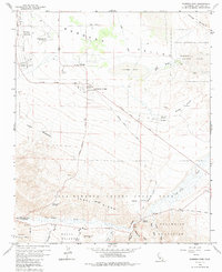
1959 Map of Borrego Sink
USGS Topo · Published 1986About this map
Borrego Valley is defined by its arid landscape and early mid-century development within the expansive Anza-Borrego Desert State Park. In the late 1950s, the area shows a shift toward tourism and private aviation, evidenced by the Borrego Air Ranch and Desert Lodge. Agricultural and ranching interests are anchored by the Ensign Ranch and its associated Ensign Ranch Air Strip. The terrain is characterized by the low-lying Borrego Sink and the dramatic elevations of the Yaqui Ridge and Vallecito Mountains to the south. Historically significant routes like the Old Borrego Valley Road and the Old Kane Spring Road trace the movement of early travelers through this desert corridor. Water, always critical, is marked by ephemeral features such as Coyote Creek and the San Felipe Creek wash system, which drain toward the sink.
Find a feature on this map
51 named features on this map. Tap any name to fly to it.
Don’t see what you’re looking for? This feature index may not catch every label — zoom into the map to look around manually.
Map Details
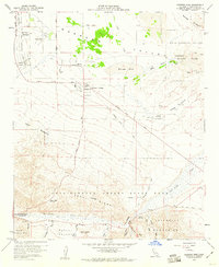
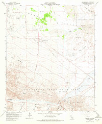
Editions of this 1959 Borrego Sink Map
3 editions found
Other maps of this area

1904 · Indio
USGS Topo · 1:125,000

1931 · Vallecito
USGS Topo · 1:125,000

1939 · Borrego
USGS Topo · 1:62,500

1941 · Clark Lake
USGS Topo · 1:62,500

1942 · Barrel Spring
USGS Topo · 1:62,500

1942 · Agua Dulce
USGS Topo · 1:62,500

1942 · Clark Lake
USGS Topo · 1:62,500

1942 · Borego
USGS Topo · 1:62,500

1943 · Vallecito
USGS Topo · 1:125,000

1944 · Agua Dulce
USGS Topo · 1:62,500