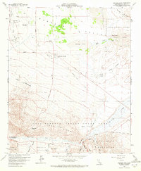
1959 Map of Borrego Sink
USGS Topo · Published 1972About this map
Borrego Springs serves as the focal point for this desert landscape, where mid-century development met the arid expanse of the Borrego Valley. The map reveals a specialized local economy centered on early tourism and ranching, evidenced by the presence of Desert Lodge, the Ensign Ranch, and its associated Ensign Ranch Air Strip. Significant desert hydrology is visible through the drainage patterns of Coyote Creek as it leads into the Borrego Sink, while the Borrego Air Ranch illustrates the region's reliance on small-scale aviation for connectivity.
Find a feature on this map
53 named features on this map. Tap any name to fly to it.
Don’t see what you’re looking for? This feature index may not catch every label — zoom into the map to look around manually.
Map Details
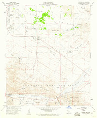
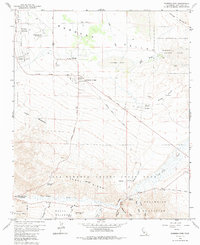
Editions of this 1959 Borrego Sink Map
3 editions found
Other maps of this area

1904 · Indio
USGS Topo · 1:125,000

1931 · Vallecito
USGS Topo · 1:125,000

1939 · Borrego
USGS Topo · 1:62,500

1941 · Clark Lake
USGS Topo · 1:62,500

1942 · Barrel Spring
USGS Topo · 1:62,500

1942 · Agua Dulce
USGS Topo · 1:62,500

1942 · Clark Lake
USGS Topo · 1:62,500

1942 · Borego
USGS Topo · 1:62,500

1943 · Vallecito
USGS Topo · 1:125,000

1944 · Agua Dulce
USGS Topo · 1:62,500