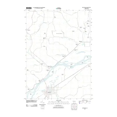
2010 Map of Boscobel
USGS Topo · Published 2010About this map
The Wisconsin River dominates this portion of Grant County, creating a complex network of waterways and islands such as Patterson Island and Feather Island just north of the city of Boscobel. The landscape is defined by its deep coulees and hollows, including Hoover Hollow and Chitwood Hollow, which separate high ridges like Irish Ridge and Maple Ridge. This survey captures the transition between the river valley's agricultural operations, like the Dawsons Empire Stock and Dairy Farm, and the upland settlements. Genealogists will find several burial sites preserved here, from Saint Patrick Cemetery in the north to the Marietta Valley Cemetery near the confluence of Richland Creek. Landmarks such as Rattlesnake Point and Easter Rock serve as distinctive navigational markers overlooking the river flats and the nearby Boscobel Airport.
Find a feature on this map
68 named features on this map. Tap any name to fly to it.
Don’t see what you’re looking for? This feature index may not catch every label — zoom into the map to look around manually.
Map Details
Editions of this 2010 Boscobel Map
This is the sole edition of this map. No revisions or reprints were ever made.
Other maps of this area

1924 · Gays Mills
USGS Topo · 1:62,500

1926 · Gays Mills
USGS Topo · 1:62,500

1926 · Wauzeka
USGS Topo · 1:62,500

1933 · Boaz
USGS Topo · 1:62,500

1933 · Boscobel
USGS Topo · 1:62,500

1958 · La Crosse
USGS Topo · 1:250,000

1961 · La Crosse
USGS Topo · 1:250,000

1965 · La Crosse
USGS Topo · 1:250,000
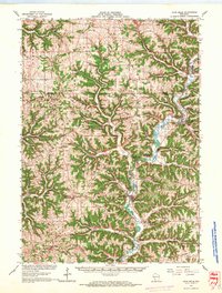
1966 · Gays Mills
USGS Topo · 1:62,500

1966 · Boaz
USGS Topo · 1:62,500