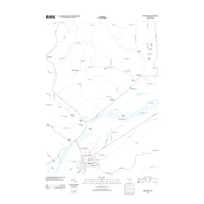
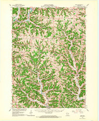
2013 Map of Boscobel
USGS Topo · Published 2013About this map
The Wisconsin River dominates the landscape as it flows past the town of Boscobel, creating a complex network of islands and backwaters. Notable landforms along the riverbanks include Trumbull Island, Patterson Island, and the prominent Rattlesnake Point. The surrounding bluffs and valleys are defined by numerous named hollows, such as Chitwood Hollow and Wannamaker Hollow, which historically organized the local agricultural settlement patterns.
Find a feature on this map
85 named features on this map. Tap any name to fly to it.
Don’t see what you’re looking for? This feature index may not catch every label — zoom into the map to look around manually.
Map Details
Editions of this 2013 Boscobel Map
This is the sole edition of this map. No revisions or reprints were ever made.
Other maps of this area
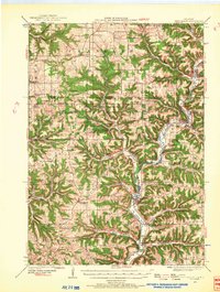
1924 · Gays Mills
USGS Topo · 1:62,500
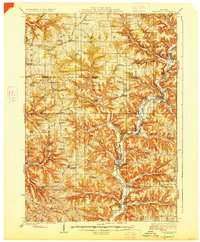
1926 · Gays Mills
USGS Topo · 1:62,500
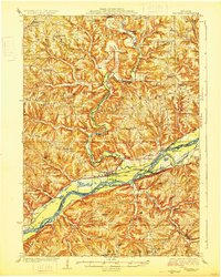
1926 · Wauzeka
USGS Topo · 1:62,500
1933 · Boaz
USGS Topo · 1:62,500
1933 · Boscobel
USGS Topo · 1:62,500

1958 · La Crosse
USGS Topo · 1:250,000

1961 · La Crosse
USGS Topo · 1:250,000
1965 · La Crosse
USGS Topo · 1:250,000
1966 · Gays Mills
USGS Topo · 1:62,500
1966 · Boaz
USGS Topo · 1:62,500