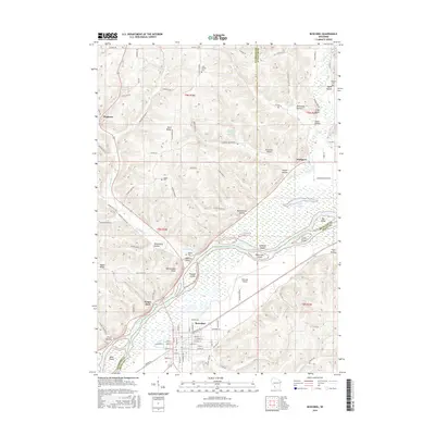
2016 Map of Boscobel
USGS Topo · Published 2016About this map
The Wisconsin River serves as a dominant geographical and political boundary, separating Crawford and Richland counties from Grant County as it flows past the city of Boscobel. This river corridor is dotted with substantial landforms such as Trumbull Island, Patterson Island, and Feather Island. The surrounding landscape is characterized by a complex network of hollows and ridges, including Chitwood Hollow, Gobin Hollow, and Irish Ridge, which illustrate the region's classic driftless-area topography.
Find a feature on this map
110 named features on this map. Tap any name to fly to it.
Don’t see what you’re looking for? This feature index may not catch every label — zoom into the map to look around manually.
Map Details
Editions of this 2016 Boscobel Map
This is the sole edition of this map. No revisions or reprints were ever made.
Other maps of this area

1924 · Gays Mills
USGS Topo · 1:62,500

1926 · Gays Mills
USGS Topo · 1:62,500

1926 · Wauzeka
USGS Topo · 1:62,500

1933 · Boaz
USGS Topo · 1:62,500

1933 · Boscobel
USGS Topo · 1:62,500

1958 · La Crosse
USGS Topo · 1:250,000

1961 · La Crosse
USGS Topo · 1:250,000

1965 · La Crosse
USGS Topo · 1:250,000
1966 · Gays Mills
USGS Topo · 1:62,500

1966 · Boaz
USGS Topo · 1:62,500