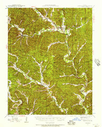
1943 Map of Boss
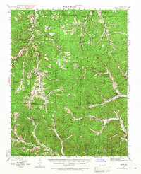
USGS Topo · Published 1968About this map
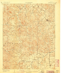
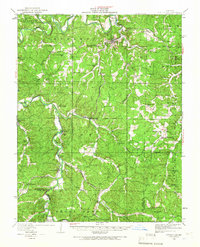
Old Mill Lodge stands near the headwaters of the West Fork in this mid-century survey of the eastern Ozarks. The landscape is defined by a dense network of mountain schools and country churches serving dispersed timber and mining communities. Small settlements like Viburnum, Bixby, and Boss anchor the valley floors, while the surrounding hills are etched with family-named landmarks such as Abbott Branch and Payne Hollow.
Find a feature on this map
83 named features on this map. Tap any name to fly to it.
Don’t see what you’re looking for? This feature index may not catch every label — zoom into the map to look around manually.
Map Details
Editions of this 1943 Boss Map
2 editions found
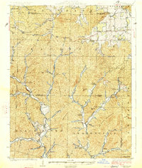
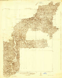
Other maps of this area
1906 · Potosi
USGS Topo · 1:62,500

1924 · Edgehill
USGS Topo · 1:62,500
1926 · Edgehill
USGS Topo · 1:62,500
1932 · Steelville
USGS Topo · 1:48,000
1933 · Steelville
USGS Topo · 1:62,500
1937 · Steelville
USGS Topo · 1:62,500
1941 · Stone Hill
USGS Topo · 1:62,500
1943 · Berryman
USGS Topo · 1:62,500
1943 · Lesterville
USGS Topo · 1:62,500
1943 · Boss
USGS Topo · 1:62,500