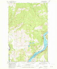
1969 Map of Bossburg
USGS Topo · Published 1971About this map
Bossburg sits along the eastern bank of the Franklin D Roosevelt Lake, a reservoir formed by the damming of the Columbia River in Stevens County. In this late 1960s landscape, the Burlington Northern railroad follows the water's edge, connecting the small riverside settlement to the broader regional economy. The area's industrial character is defined by extraction, with the Young America Mine and Northwest Marble Mine situated near the bluffs, alongside an active Quarry. To the west, the terrain rises sharply toward Kelly Hill and Jumbo Mountain, while several small water bodies like Glasgo Lakes and Ryan Lake dot the upland benches. This map illustrates the intersection of heavy industry, early recreational development at the North Gorge Campground, and the shifting geography of the Columbia River basin following mid-century hydroelectric projects.
Find a feature on this map
32 named features on this map. Tap any name to fly to it.
Don’t see what you’re looking for? This feature index may not catch every label — zoom into the map to look around manually.
Map Details
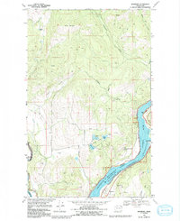
Editions of this 1969 Bossburg Map
2 editions found
Other maps of this area

1929 · Colville
USGS Topo · 1:125,000

1933 · Colville
USGS Topo · 1:125,000

1936 · Marcus
USGS Topo · 1:96,000

1942 · Marcus
USGS Topo · 1:125,000

1948 · Kettle Falls
USGS Topo · 1:62,500

1948 · Orient
USGS Topo · 1:62,500

1951 · Orient
USGS Topo · 1:62,500

1951 · Kettle Falls
USGS Topo · 1:62,500

1952 · Echo Valley
USGS Topo · 1:24,000

1954 · Okanogan
USGS Topo · 1:250,000