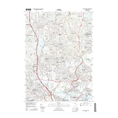
2015 Map of Boston North
USGS Topo · Published 2015About this map
Bunker Hill and the surrounding urban reaches of the north shore dominate this modern topographic landscape. The area represents a dense intersection of industrial history and institutional growth, anchored by the Saugus Iron Works National Historic Site to the north and the sprawling infrastructure of the General Edward Lawrence Logan International Airport to the south. The terrain is marked by significant elevations like Powder Horn Hill and Bear Hill, while the Mystic River and Malden River corridors define the low-lying industrial and transit sectors connecting West Everett, Malden Centre, and Chelsea.
Find a feature on this map
178 named features on this map. Tap any name to fly to it.
Don’t see what you’re looking for? This feature index may not catch every label — zoom into the map to look around manually.
Map Details
Editions of this 2015 Boston North Map
This is the sole edition of this map. No revisions or reprints were ever made.
Other maps of this area

1886 · Lawrence
USGS Topo · 1:62,500

1888 · Lawrence
USGS Topo · 1:62,500

1888 · Salem
USGS Topo · 1:62,500

1892 · Boston Bay
USGS Topo · 1:62,500

1893 · Salem
USGS Topo · 1:62,500

1893 · Boston
USGS Topo · 1:62,500

1893 · Lawrence
USGS Topo · 1:62,500

1903 · Boston
USGS Topo · 1:62,500

1903 · Boston Bay
USGS Topo · 1:62,500

1917 · Salem
USGS Topo · 1:62,500