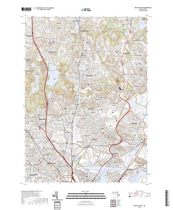
2024 Map of Boston North
USGS Topo · Published 2024About this map
Middlesex Fells dominates the central landscape of this Boston-area survey, preserving a significant green space amidst the dense residential development of Stoneham, Melrose, and Winchester. This modern topography highlights the complex intersection of colonial-era heritage and contemporary infrastructure. To the east, the Saugus Iron Works National Historic Site along the Saugus River marks the birthplace of American heavy industry, while the marshlands of the Pines River Marshes and Rumney Marsh persist as critical ecological features.
Find a feature on this map
169 named features on this map. Tap any name to fly to it.
Don’t see what you’re looking for? This feature index may not catch every label — zoom into the map to look around manually.
Map Details
Editions of this 2024 Boston North Map
This is the sole edition of this map. No revisions or reprints were ever made.
Other maps of this area

1886 · Lawrence
USGS Topo · 1:62,500

1888 · Lawrence
USGS Topo · 1:62,500

1888 · Salem
USGS Topo · 1:62,500

1892 · Boston Bay
USGS Topo · 1:62,500

1893 · Salem
USGS Topo · 1:62,500

1893 · Boston
USGS Topo · 1:62,500

1893 · Lawrence
USGS Topo · 1:62,500

1903 · Boston
USGS Topo · 1:62,500

1903 · Boston Bay
USGS Topo · 1:62,500

1917 · Salem
USGS Topo · 1:62,500