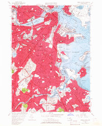
1956 Map of Boston South
USGS Topo · Published 1967About this map
Boston and its sprawling southern neighborhoods are charted here just before the mid-century's major urban renewal projects. The map shows the dense corridor of the New York New Haven and Hartford RR cutting through Roxbury, Dorchester, and down into Mattapan, anchoring the industrial and residential growth of the era. The harbor front is dominated by maritime and military installations, including the U S Naval Reservation and Logan International Airport, while the Neponset River defines the southern boundary near Milton Lower Mills.
Find a feature on this map
127 named features on this map. Tap any name to fly to it.
Don’t see what you’re looking for? This feature index may not catch every label — zoom into the map to look around manually.
Map Details
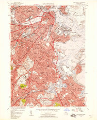
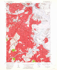
Editions of this 1956 Boston South Map
Other maps of this area

1885 · Abington
USGS Topo · 1:62,500

1886 · Dedham
USGS Topo · 1:62,500

1888 · Abington
USGS Topo · 1:62,500

1892 · Boston Bay
USGS Topo · 1:62,500

1893 · Abington
USGS Topo · 1:62,500

1893 · Boston
USGS Topo · 1:62,500

1894 · Dedham
USGS Topo · 1:62,500

1903 · Boston
USGS Topo · 1:62,500

1903 · Boston Bay
USGS Topo · 1:62,500

1919 · Dedham
USGS Topo · 1:62,500