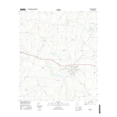
2017 Map of Boston
USGS Topo · Published 2017About this map
Boston serves as the primary municipal hub in this South Georgia landscape, where the local street grid intersects near the Boston City Cem. The surrounding Thomas County countryside is defined by a intricate network of family-named roads and scattered burial grounds, including the Antioch Cem and Bethlehem Cem, which provide significant anchor points for genealogical research. The natural hydrology of the region is prominent, characterized by the winding path of the Aucilla River and various tributaries like Piscola Cr and Masse Br.
Find a feature on this map
83 named features on this map. Tap any name to fly to it.
Don’t see what you’re looking for? This feature index may not catch every label — zoom into the map to look around manually.
Map Details
Editions of this 2017 Boston Map
This is the sole edition of this map. No revisions or reprints were ever made.
Other maps of this area

1954 · Valdosta
USGS Topo · 1:250,000

1956 · Grooverville
USGS Topo · 1:24,000

1956 · Monticello NE
USGS Topo · 1:24,000

1956 · Metcalf
USGS Topo · 1:24,000

1957 · Thomasville
USGS Topo · 1:62,500

1958 · Valdosta
USGS Topo · 1:250,000

1959 · Valdosta
USGS Topo · 1:250,000

1961 · Quitman
USGS Topo · 1:62,500
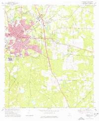
1975 · Thomasville
USGS Topo · 1:24,000
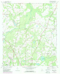
1975 · Merrillville
USGS Topo · 1:24,000