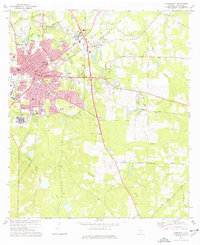
1975 Map of Thomasville
USGS Topo · Published 1977About this map
Thomasville serves as the focal point of this mid-1970s survey, showing a well-established regional hub defined by its medical, educational, and transportation infrastructure. The cityscape is anchored by massive facilities such as Archbold Memorial Hospital and the sprawling Southwestern State Hospital, while a high density of schools like the Sewell Vocational Center and Magnolia Jr High Sch point to steady mid-century growth. The Seaboard Coast Line and SCL tracks bisect the landscape, providing the industrial backbone for the region.
Find a feature on this map
60 named features on this map. Tap any name to fly to it.
Don’t see what you’re looking for? This feature index may not catch every label — zoom into the map to look around manually.
Map Details
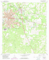
Editions of this 1975 Thomasville Map
2 editions found
Other maps of this area

1954 · Valdosta
USGS Topo · 1:250,000

1954 · Tallahassee
USGS Topo · 1:250,000

1956 · Monticello NE
USGS Topo · 1:24,000

1956 · Cairo
USGS Topo · 1:62,500

1956 · Metcalf
USGS Topo · 1:24,000

1957 · Miccosukee NE
USGS Topo · 1:24,000

1957 · Thomasville
USGS Topo · 1:62,500

1958 · Valdosta
USGS Topo · 1:250,000

1959 · Tallahassee
USGS Topo · 1:250,000

1959 · Valdosta
USGS Topo · 1:250,000
Featured Places
- Thomasville, GA
- Newark, GA
- McLoughlin Heights, Thomasville
- Fletcherville, Thomasville
- Theodore Heights, Thomasville