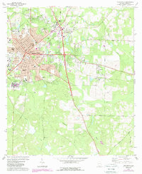
1975 Map of Thomasville
USGS Topo · Published 1988About this map
Thomasville serves as the regional anchor for Thomas County in the mid-1970s, showcasing a dense network of civic and educational institutions. The map records several notable facilities including the Archbold Memorial Hospital, Southwestern State Hospital, and the Sewell Vocational Center. The landscape is dotted with several legacy burial grounds such as Magnolia Cem, Hebrew Cem, and the expansive Sunset Memorial Gardens.
Find a feature on this map
67 named features on this map. Tap any name to fly to it.
Don’t see what you’re looking for? This feature index may not catch every label — zoom into the map to look around manually.
Map Details
Editions of this 1975 Thomasville Map
2 editions found
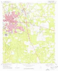
Other maps of this area

1954 · Valdosta
USGS Topo · 1:250,000

1954 · Tallahassee
USGS Topo · 1:250,000

1956 · Monticello NE
USGS Topo · 1:24,000

1956 · Cairo
USGS Topo · 1:62,500

1956 · Metcalf
USGS Topo · 1:24,000

1957 · Miccosukee NE
USGS Topo · 1:24,000

1957 · Thomasville
USGS Topo · 1:62,500

1958 · Valdosta
USGS Topo · 1:250,000

1959 · Tallahassee
USGS Topo · 1:250,000

1959 · Valdosta
USGS Topo · 1:250,000
Featured Places
- Thomasville, GA
- Newark, GA
- McLoughlin Heights, Thomasville
- Fletcherville, Thomasville
- Theodore Heights, Thomasville