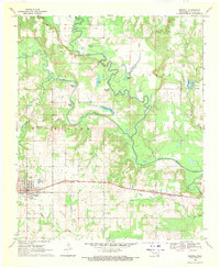
1969 Map of Boswell
USGS Topo · Published 1971About this map
Boswell serves as the primary hub of this landscape, situated along the St Louis San Francisco railroad. The town's grid is clearly defined, featuring the Restland Cem and a nearby Sewage Disposal Pond, illustrating the community's mid-century infrastructure. To the north, the McLeod Honor Farm occupies a significant portion of the river bottomlands near the meandering Muddy Boggy Creek. This waterway and its many offshoots, including Edmond Slough and Tanyard Creek, create a complex drainage pattern that has shaped the local geography. Rural life is anchored by scattered landmarks like the Fish Hatchery and several country churches such as St James Ch No 2 and Oak Ridge Ch. Family and local history can be traced through small burial grounds like Pierce Cem and Holder Cem, which are tucked away near the oxbow lakes of the Clear Boggy Creek valley.
Find a feature on this map
27 named features on this map. Tap any name to fly to it.
Don’t see what you’re looking for? This feature index may not catch every label — zoom into the map to look around manually.
Map Details
Editions of this 1969 Boswell Map
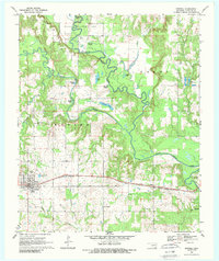
2 editions found
Other maps of this area

1901 · Antlers
USGS Topo · 1:125,000

1903 · Paris
USGS Topo · 1:125,000

1912 · Antlers
USGS Topo · 1:125,000

1925 · Antlers
USGS Topo · 1:125,000

1948 · Grant
USGS Topo · 1:62,500

1948 · Direct
USGS Topo · 1:62,500

1949 · Direct
USGS Topo · 1:62,500

1949 · Grant
USGS Topo · 1:62,500

1950 · Mcalester
USGS Topo · 1:250,000

1953 · Texarkana
USGS Topo · 1:250,000