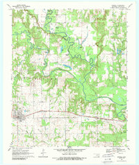
1969 Map of Boswell
USGS Topo · Published 1989About this map
The town of Boswell serves as the primary hub in this Choctaw County landscape, situated along the St Louis San Francisco railroad line. The surrounding territory is defined by the complex hydrology of the Muddy Boggy Creek and Clear Boggy Creek, which meander through the northern and eastern sections of the quadrangle. These waterways create a series of oxbow features including Brushy Lake, Mosley Lake, and Hogpen Lake, illustrating the naturally shifting course of the regional drainage systems before modern channelization.
Find a feature on this map
28 named features on this map. Tap any name to fly to it.
Don’t see what you’re looking for? This feature index may not catch every label — zoom into the map to look around manually.
Map Details
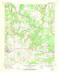
Editions of this 1969 Boswell Map
2 editions found
Other maps of this area

1901 · Antlers
USGS Topo · 1:125,000

1903 · Paris
USGS Topo · 1:125,000

1912 · Antlers
USGS Topo · 1:125,000

1925 · Antlers
USGS Topo · 1:125,000

1948 · Grant
USGS Topo · 1:62,500

1948 · Direct
USGS Topo · 1:62,500

1949 · Direct
USGS Topo · 1:62,500

1949 · Grant
USGS Topo · 1:62,500

1950 · Mcalester
USGS Topo · 1:250,000

1953 · Texarkana
USGS Topo · 1:250,000