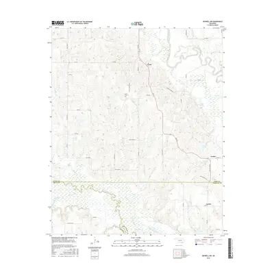
2016 Map of Boswell NW
USGS Topo · Published 2016About this map
Muddy Boggy Creek and Clear Boggy Creek define the hydrologic character of this landscape at the intersection of Atoka, Bryan, and Choctaw counties. The settlement of Crystal serves as a local focal point, supported by the Crystal Cem nearby on Crystal Cemetery Rd. This area is characterized by an extensive network of small lakes and creek branches, including Atoka Lake, Hasell Lake, and the geographically curious Dry Lake.
Find a feature on this map
52 named features on this map. Tap any name to fly to it.
Don’t see what you’re looking for? This feature index may not catch every label — zoom into the map to look around manually.
Map Details
Editions of this 2016 Boswell NW Map
This is the sole edition of this map. No revisions or reprints were ever made.
Other maps of this area

1899 · Atoka
USGS Topo · 1:125,000

1900 · Atoka
USGS Topo · 1:125,000

1901 · Antlers
USGS Topo · 1:125,000

1912 · Antlers
USGS Topo · 1:125,000

1925 · Antlers
USGS Topo · 1:125,000

1950 · Mcalester
USGS Topo · 1:250,000

1957 · Farris
USGS Topo · 1:24,000

1957 · Bruno
USGS Topo · 1:24,000

1957 · Lane
USGS Topo · 1:24,000

1957 · Ardmore
USGS Topo · 1:250,000