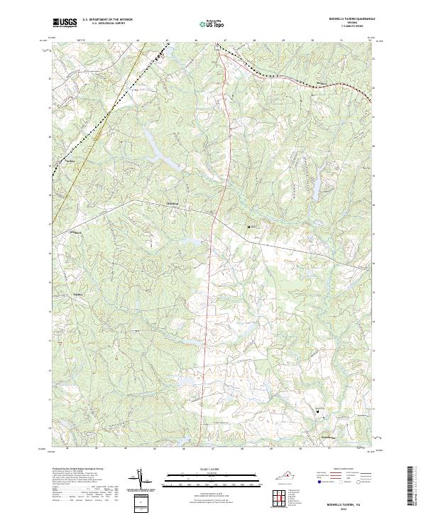
2022 Map of Boswells Tavern
USGS Topo · Published 2022About this map
The S Anna River and its numerous tributaries, including Bowlers Mill Run, define this region of central Virginia where the Albemarle and Louisa county line bisects the landscape. The map reveals a pattern of dispersed rural settlements such as Waldrop, Thelma, and Poindexter, often centered around road intersections and water sources. The area is marked by several private family landmarks and historical points of interest, including the Alberts Family Cem and Watson Cem, providing valuable data for genealogists tracing local families.
Find a feature on this map
86 named features on this map. Tap any name to fly to it.
Don’t see what you’re looking for? This feature index may not catch every label — zoom into the map to look around manually.
Map Details
Editions of this 2022 Boswells Tavern Map
This is the sole edition of this map. No revisions or reprints were ever made.
Other maps of this area

1891 · Palmyra
USGS Topo · 1:125,000

1892 · Gordonsville
USGS Topo · 1:125,000

1895 · Palmyra
USGS Topo · 1:125,000

1897 · Palmyra
USGS Topo · 1:125,000

1935 · Charlottesville
USGS Topo · 1:62,500

1939 · Charlottesville
USGS Topo · 1:62,500

1943 · Scottsville
USGS Topo · 1:62,500

1946 · Scottsville
USGS Topo · 1:62,500

1947 · Roanoke
USGS Topo · 1:250,000

1949 · Charlottesville
USGS Topo · 1:250,000