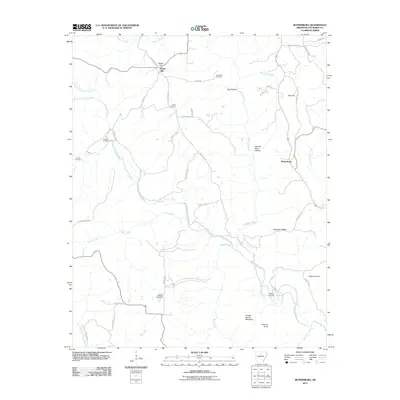
2011 Map of Botkinburg
USGS Topo · Published 2011About this map
Botkinburg anchors the eastern edge of this topographical survey in Van Buren County, where the Ozark landscape is defined by the winding course of Archey Creek and its many tributaries. The area is characterized by high ridges and hollows, including Chinkapin Ridge and George Main Hollow, which dictate the paths of rural roads like Peyton Creek Rd and Rocky Hill Rd. For genealogists, the map is particularly valuable for its clear marking of family and community burial grounds, such as Lunceford Cemetery, Salem Cemetery, and the Bluffton Cemetery overlooking the creek. Small-scale engineering is evident at the Jackson Lake Dam, while the terrain rises toward significant landmarks like Copper Spring Mountain and Rocky Hill in the north.
Find a feature on this map
51 named features on this map. Tap any name to fly to it.
Don’t see what you’re looking for? This feature index may not catch every label — zoom into the map to look around manually.
Map Details
Editions of this 2011 Botkinburg Map
This is the sole edition of this map. No revisions or reprints were ever made.
Other maps of this area

1892 · Marshall
USGS Topo · 1:125,000

1892 · Mountain View
USGS Topo · 1:125,000

1894 · Mountain View
USGS Topo · 1:125,000

1894 · Marshall
USGS Topo · 1:125,000

1901 · Marshall
USGS Topo · 1:125,000

1956 · Russellville
USGS Topo · 1:250,000
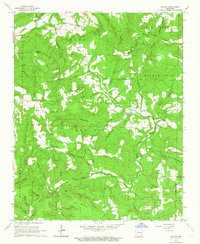
1962 · Canaan
USGS Topo · 1:24,000

1963 · Leslie
USGS Topo · 1:24,000

1964 · Russellville
USGS Topo · 1:250,000
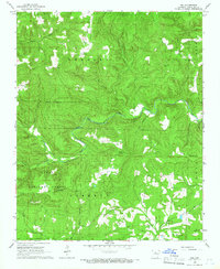
1965 · Rex
USGS Topo · 1:24,000