
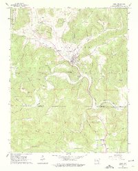
1963 Map of Leslie
USGS Topo · Published 1964About this map
Leslie and the surrounding Ozark foothills of Searcy Co and Van Buren Co are defined by the winding course of the Middle Fork Little Red River. In the early 1960s, the landscape was a mix of small settlements and mountain peaks like Chicken Wilson Knob and Blue Mountain. The map reveals a community connected by water and early infrastructure, notably the Old Railroad Grade that follows the river valley near Rumley.
Find a feature on this map
54 named features on this map. Tap any name to fly to it.
Don’t see what you’re looking for? This feature index may not catch every label — zoom into the map to look around manually.
Map Details
Editions of this 1963 Leslie Map
2 editions found
Other maps of this area

1892 · Marshall
USGS Topo · 1:125,000

1892 · Mountain View
USGS Topo · 1:125,000

1894 · Mountain View
USGS Topo · 1:125,000

1894 · Marshall
USGS Topo · 1:125,000

1901 · Marshall
USGS Topo · 1:125,000

1956 · Russellville
USGS Topo · 1:250,000
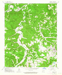
1962 · Marshall
USGS Topo · 1:24,000
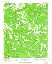
1962 · Canaan
USGS Topo · 1:24,000
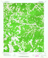
1963 · Harriet
USGS Topo · 1:24,000

1964 · Russellville
USGS Topo · 1:250,000